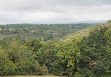
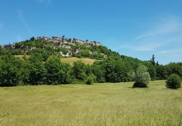
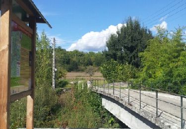
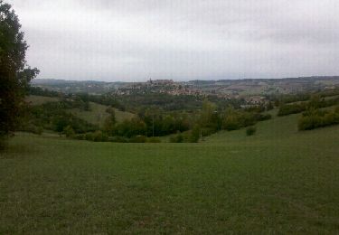
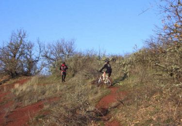
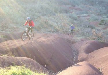
Randonnée Marche Souel - Sentier du Causse court - Photo

Sentier du Causse court

 jpipacific
jpipacific

Utilisateur

© OpenStreetMap contributors
Longueur
Longueur
10,3 km
Altitude max
Altitude max
307 m
Dénivelé positif
Dénivelé positif
218 m
Km-Effort
Km-Effort  
13,2 km
Altitude min
Altitude min
221 m
Dénivelé négatif
Dénivelé négatif
212 m
Boucle
Boucle
Oui
Date de création :
2017-12-15 00:00:00.0
Dernière modification :
2017-12-15 00:00:00.0

(0 Avis)

Marche
Marche
2h50
Difficulté : Facile

Scannez ce code QR pour ouvrir la randonnée dans l'application SityTrail

Application GPS de randonnée GRATUITE

Logo SityTrail SityTrail

IGN / Instituts géographiques

Télécharger SityTrail sur l'App Store Télécharger SityTrail sur Google Play

Logo SityTrail SityTrail World

Le monde est à vous

Télécharger SityTrail sur l'App Store Télécharger SityTrail sur Google Play Télécharger SityTrail sur Huawei AppGallery

À propos

Randonnée Marche de 10,3 km à découvrir à Occitanie, Tarn, Souel. Cette randonnée est proposée par jpipacific.

Description

Raccourci du circuit du Causse. Il faut passer le long de la vigne au 1er point repéré et sous un grillage au 2ieme point repéré.

Profil altimétrique

Points d'intérêt

Point d'intérêt Souel - Point 1 - Photo
jpipacific
SOUEL 
Point d'intérêt Livers-Cazelles - Point 2 - Photo
jpipacific
LIVERS-CAZELLES 

Localisation

Pays :
France
Région :
Occitanie
Département/Province :
Tarn
Commune :
Souel
Localité :
Unknown
Départ:(Dec)
Départ:(UTM)
416307 ; 4875845 (31T) N.

Randonnées à proximité

Randonnée Marche Souel - Cordes-sur-ciel / Sentier du Causse (boucle) - Photo
Marche
Kalystar

Marche

Facile
(3)
Souel, Occitanie, Tarn, France
11,2 km | 14,6 km-effort
3h 8min
Oui
Randonnée Marche Amarens - 81_Les Cabannes_meulière_longue - Photo
Marche
jab31

Marche

Moyen
(1)
Amarens, Occitanie, Tarn, France
16,4 km | 23 km-effort
4h 51min
Oui
Randonnée Marche Souel - Souel la Riviere - Photo
Marche
tercla

Marche

Facile
Souel, Occitanie, Tarn, France
13,2 km | 16,7 km-effort
3h 37min
Oui
Randonnée Marche Cordes-sur-Ciel - Cordes sur Ciel - Photo
Marche
swp648

Marche

Facile
Cordes-sur-Ciel, Occitanie, Tarn, France
13,8 km | 17,6 km-effort
6h 0min
Oui
Randonnée Marche Cordes-sur-Ciel - Cordes-Pechbonnieu - Photo
Marche
zazibelle

Marche

Moyen
Cordes-sur-Ciel, Occitanie, Tarn, France
95 km | 114 km-effort
30h 0min
Non
Randonnée Marche Cordes-sur-Ciel - Aveyron-121016 - Cordes-SentierBleu (txt,gps,foto) - Photo
Marche
randodan

Marche

Très facile
Cordes-sur-Ciel, Occitanie, Tarn, France
12,5 km | 17 km-effort
5h 11min
Oui
Randonnée Marche Amarens - Aveyron-121010 - Amarens-Castelnau (txt,gps,foto) - Photo
Marche
randodan

Marche

Très facile
Amarens, Occitanie, Tarn, France
22 km | 27 km-effort
7h 56min
Non
Randonnée V.T.T. Les Cabannes - Falaise et dune à Cordes sur Ciel - Photo
V.T.T.
tracegps

V.T.T.

Difficile
Les Cabannes, Occitanie, Tarn, France
29 km | 38 km-effort
2h 0min
Oui
Randonnée V.T.T. Les Cabannes - Cordes - Les cabannes, Mouzieys-Panens - Photo
V.T.T.
tracegps

V.T.T.

Difficile
Les Cabannes, Occitanie, Tarn, France
29 km | 38 km-effort
3h 0min
Oui


Fermer
Mes abonnements