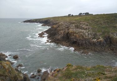
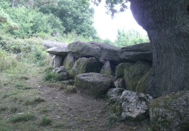
12 km | 13,7 km-effort
Merien rive gauche et droite
topophil
Utilisateur
Longueur
17,6 km
Altitude max
39 m
Dénivelé positif
205 m
Km-Effort
20 km
Altitude min
0 m
Dénivelé négatif
205 m
Boucle
Oui
Date de création :
2017-04-26 00:00:00.0
Dernière modification :
2017-04-26 00:00:00.0
5h57
Difficulté : Inconnu
Application GPS de randonnée GRATUITE
À propos
Randonnée Marche de 17,6 km à découvrir à Bretagne, Finistère, Moëlan-sur-Mer. Cette randonnée est proposée par topophil.
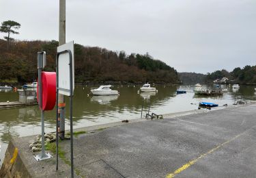
Localisation
Pays :
France
Région :
Bretagne
Département/Province :
Finistère
Commune :
Moëlan-sur-Mer
Localité :
Unknown
Départ:(Dec)
Départ:(UTM)
452224 ; 5292940 (30T) N.
Commentaires
Randonnées à proximité
routoirs à lin de Pouldouran
Marche
Facile
Moëlan-sur-Mer,
Bretagne,
Finistère,
France
126 km | 155 km-effort
3h 11min
Non
MOELAN Sur MER
Marche
Moyen
Moëlan-sur-Mer,
Bretagne,
Finistère,
France
10,2 km | 11,8 km-effort
3h 22min
Oui
MOËLAN SUR MER
Marche
Moyen
Moëlan-sur-Mer,
Bretagne,
Finistère,
France
9,7 km | 10,9 km-effort
2h 45min
Oui
CLOHARS CARNOËT
Marche
Facile
Clohars-Carnoët,
Bretagne,
Finistère,
France
9,7 km | 11 km-effort
2h 27min
Oui
ACLA - Moëslan - 19-05-19
Marche
Facile
(1)
Moëlan-sur-Mer,
Bretagne,
Finistère,
France
13,6 km | 16 km-effort
3h 31min
Oui
29-5-Ria de Merrien Rive Gauche_Douelan Rive Droite
Marche
Difficile
(1)
Clohars-Carnoët,
Bretagne,
Finistère,
France
14,9 km | 17,1 km-effort
3h 52min
Oui
Balade de l'Allée Couverte et de la Fontaine de Sainte Thumette - Kersaux
Course à pied
Moyen
Moëlan-sur-Mer,
Bretagne,
Finistère,
France
4,4 km | 5,2 km-effort
1h 0min
Oui