


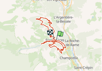

14,7 km | 26 km-effort


Utilisateur


Application GPS de randonnée GRATUITE
 SityTrail
IGN / Instituts géographiques
SityTrail World
Le monde est à vous
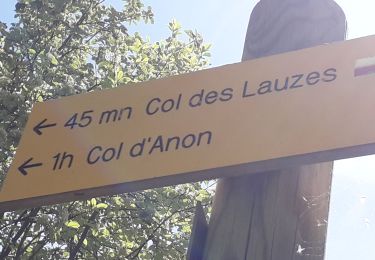
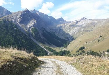
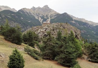
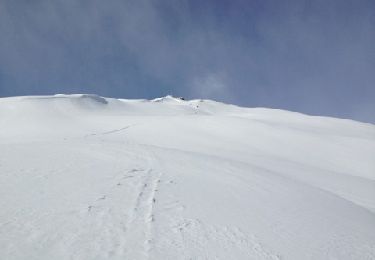
Randonnée V.T.T. de 55 km à découvrir à Provence-Alpes-Côte d'Azur, Hautes-Alpes, Freissinières. Cette randonnée est proposée par markford.
Good Route to start in the morning and with 3 Possisble Descents. with 2 single track the steepest being extreme.

Marche
Marche

Marche
Marche
Marche
Marche
Marche
Marche
Autre activité