


15,1 km | 18,8 km-effort

Utilisateur


Application GPS de randonnée GRATUITE
 SityTrail
IGN / Instituts géographiques
SityTrail World
Le monde est à vous
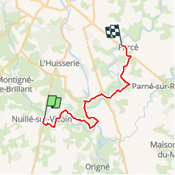
Randonnée Marche de 17,7 km à découvrir à Pays de la Loire, Mayenne, Nuillé-sur-Vicoin. Cette randonnée est proposée par Axelloceane.
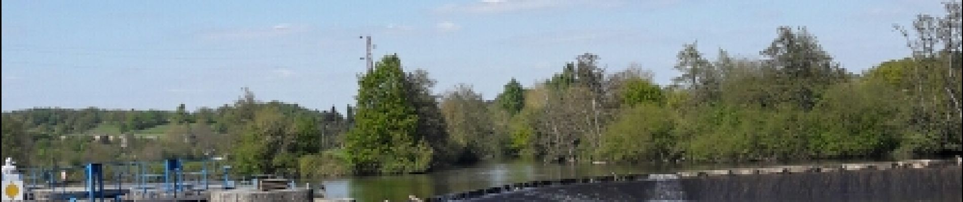
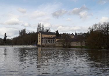
Départ de la place de l'église de Nuillé sur Vicoin.Prendre la direction de Quelaines puis prendre à gauche pour rejoindre l'étang de Vauchoisier puis suivre le balisage qui joue à cache cache pour rejoindre le halage.Remonter vers l'amont de la Mayenne direction Laval et prendre le pont direction Entrammes. Traverser la commune et prendre direction Forcé(D565) et après le terrain de foot tourner à droite pour rejoindre Forcé par sentier et route.
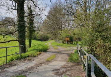
 - Photo 1")
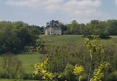
 - Photo 2")
 - Photo 3")
 - Photo 4")
 - Photo 5")
 - Photo 6")
 - Photo 7")
Marche
Marche
Marche

Marche
Marche
Marche

V.T.C.
V.T.C.
Marche