


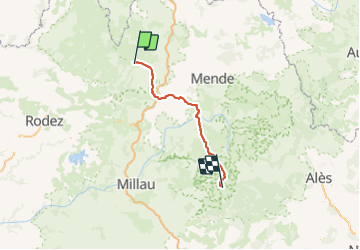

18,4 km | 24 km-effort


Utilisateur


Application GPS de randonnée GRATUITE
 SityTrail
IGN / Instituts géographiques
SityTrail World
Le monde est à vous
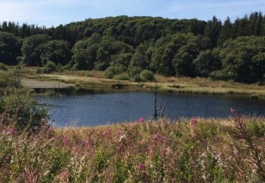
Randonnée Autre activité de 98 km à découvrir à Occitanie, Aveyron, Saint Geniez d'Olt et d'Aubrac. Cette randonnée est proposée par leon40.
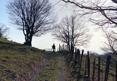
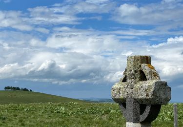
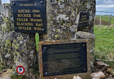
Randonnée avec le GR60 à travers la Lozère et le Gard du Signal de Mailhebiau à l'Espérou. Gîtes d'étapes, Chambres d'hôtes, Hôtels, Camping, Refuges, Auberges.
Marche
Marche
Marche
Marche
Marche
Marche nordique
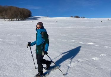
Raquettes à neige
Marche
Marche