


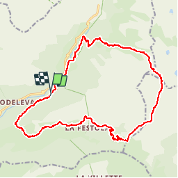

16,6 km | 33 km-effort


Utilisateur


Application GPS de randonnée GRATUITE
 SityTrail
IGN / Instituts géographiques
SityTrail World
Le monde est à vous
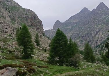
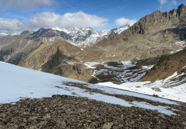
Randonnée Marche de 22 km à découvrir à Provence-Alpes-Côte d'Azur, Alpes-Maritimes, Belvédère. Cette randonnée est proposée par guazza83.
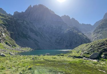
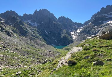
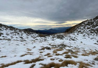
Départ borne 271 au dessus de la cascade du Ray en direction de Trémenil , grange du colonel col de Raus ,pas du diable , pas de Trem et vallon du des Verrairiers pour rejoindre la Gordolasque et retour cascade du Ray .

Marche

A pied

Marche

Marche
Marche
Marche
Marche
Marche
Marche