


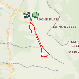


10,1 km | 16,7 km-effort

Utilisateur


Application GPS de randonnée GRATUITE
 SityTrail
IGN / Instituts géographiques
SityTrail World
Le monde est à vous
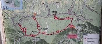
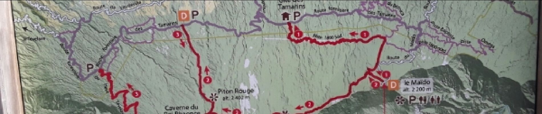
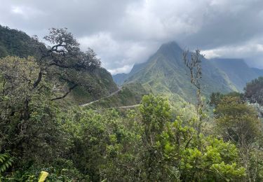
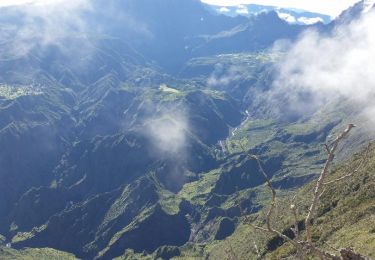
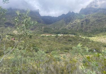
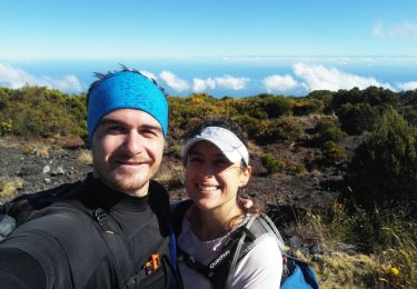
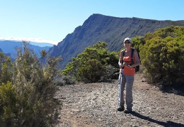
Randonnée Marche de 10,8 km à découvrir à La Réunion, Inconnu, Saint-Paul. Cette randonnée est proposée par nicovio.
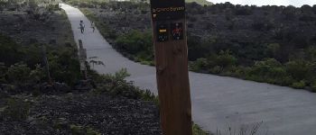
randonnée à commencer en longeant le tombant pour la vue car les nuages arrivent tôt et cachent le point de vue si vous faites la rando comme nous.
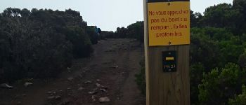
le chemin qui longe la corniche est caillouteux


Marche

Marche
Marche
Marche
Marche
Marche
Marche
Marche
Marche