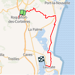

15,3 km | 22 km-effort


Utilisateur


Application GPS de randonnée GRATUITE
 SityTrail
IGN / Instituts géographiques
SityTrail World
Le monde est à vous
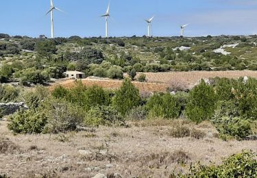
Randonnée Marche de 25 km à découvrir à Occitanie, Aude, Roquefort-des-Corbières. Cette randonnée est proposée par LucThomaere.
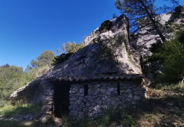
The terrain is rather easy but the length makes it medium.
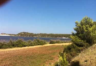
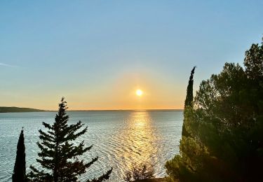
Great views over the hills and the sea. Better in spring than in summer.
Marche
Marche

A pied
Marche
Marche
Marche

Marche