


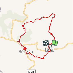

11 km | 15,3 km-effort


Utilisateur


Application GPS de randonnée GRATUITE
 SityTrail
IGN / Instituts géographiques
SityTrail World
Le monde est à vous
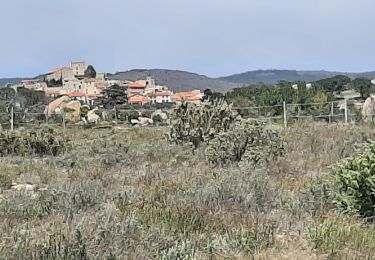
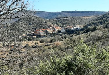
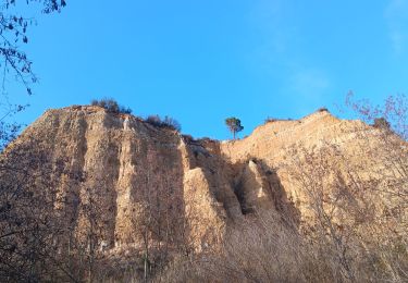
Randonnée Marche de 9,2 km à découvrir à Occitanie, Pyrénées-Orientales, Bélesta. Cette randonnée est proposée par jeff66.
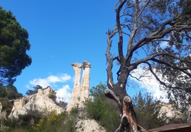
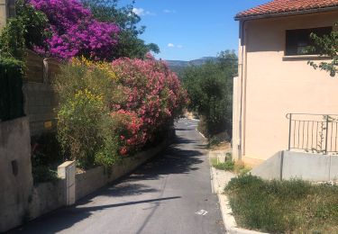
RP66 BELESTA - parking à proximité ponts et RD38 - Ravin de l'Orteill - BELESTA - église - Ruelles - cave Coop - Dolmen - piste DFCI F135 - chapelle Saint Barthélémy - pic Aubeill - les roques planes - piste DFCI F135 - le 14.04.2017

Marche
Marche
Marche
Marche
Marche
Marche
Marche
Marche
Marche