


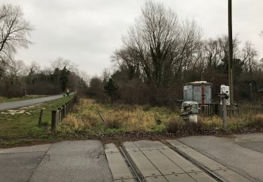
7,8 km | 8,4 km-effort


Utilisateur


Application GPS de randonnée GRATUITE
 SityTrail
IGN / Instituts géographiques
SityTrail World
Le monde est à vous
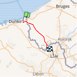
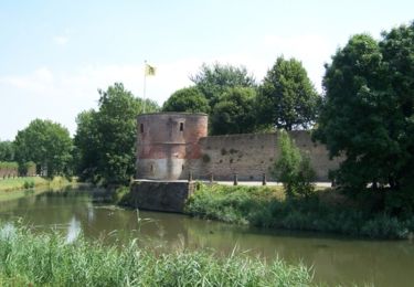
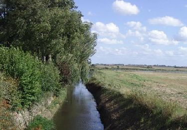
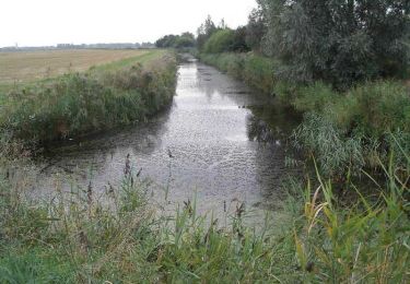
Randonnée Vélo de 73 km à découvrir à Hauts-de-France, Nord, Uxem. Cette randonnée est proposée par FABLUK.
départ: Auberge de la Ferme Hooghe Moote 188 Route d'Uxem, 59254 Ghyvelde
arrivée: Hotel https://www.hotelkanai.com/ Téléphone: 0320571478
L’entrée se situe rue de la Vieille Comédie au dessus du magasin CAROLL
Adresse: 10 Rue de Béthune, 59800 Lille, France
Marche
Marche

Marche
Marche
A pied

Marche
V.T.T.
Vélo
Marche