


11,4 km | 15,4 km-effort


Utilisateur


Application GPS de randonnée GRATUITE
 SityTrail
IGN / Instituts géographiques
SityTrail World
Le monde est à vous
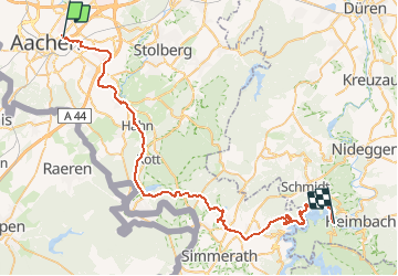
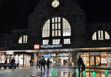
Randonnée V.T.T. de 53 km à découvrir à Rhénanie-du-Nord-Westphalie, Région urbaine d'Aix-la-Chapelle, Aix-la-Chapelle. Cette randonnée est proposée par francois58.
Jour 2/3 d'une randonnée en Eurégio au départ d'Eupen.
Circuit très varié en paysage et en type de parcours.
Ses points forts :
un démarrage bien progressif par le Ravel de la Vennbahn,
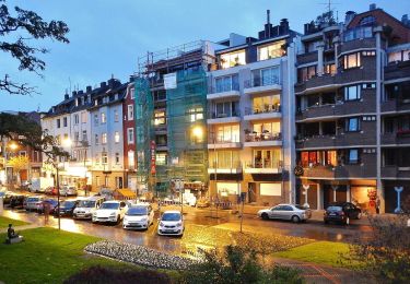
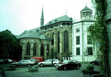
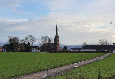
Korneliemünster,
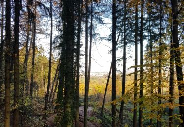
l'Hertogenwald,
le "Kalltasperre"
et surtout l'arrivée sur le magnifique "Rursee" !
A noter :
une toute petite montée que seuls les champions arriveront à faire en vélo,
une toute petite descente que seuls les hardis feront sur leur vélo,
lors de la descente du Tall, nous étions allés jusquà la grand route ... pas sympa ! La trace ci-dessous propose une alternative à tester !

Marche
Marche
A pied
A pied
A pied
A pied
A pied
A pied
A pied