


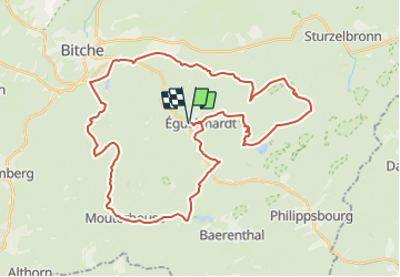


17,3 km | 24 km-effort


Utilisateur


Application GPS de randonnée GRATUITE
 SityTrail
IGN / Instituts géographiques
SityTrail World
Le monde est à vous
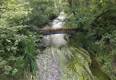
Randonnée Vélo de 42 km à découvrir à Grand Est, Moselle, Éguelshardt. Cette randonnée est proposée par JPMEGEL.
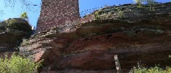
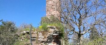
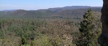
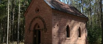
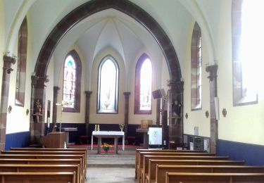
Sortie avec visite du chateau du Waldeck et de la chapelle de notre dame des bois. Passe par l'etang de hasselfurth


Marche

Marche

Marche

Marche

Marche

A pied

A pied
A pied
A pied