Randonnée Vélo Éguelshardt - Trecking Waldeck - Bitche - Mouterhouse - Photo

Trecking Waldeck - Bitche - Mouterhouse

 JPMEGEL
JPMEGEL

Utilisateur

© OpenStreetMap contributors
Longueur
Longueur
42 km
Altitude max
Altitude max
365 m
Dénivelé positif
Dénivelé positif
690 m
Km-Effort
Km-Effort  
51 km
Altitude min
Altitude min
209 m
Dénivelé négatif
Dénivelé négatif
690 m
Boucle
Boucle
Oui
Date de création :
2017-04-12 00:00:00.0
Dernière modification :
2017-04-12 00:00:00.0

(0 Avis)

Vélo
Vélo
2h52
Difficulté : Moyen

Scannez ce code QR pour ouvrir la randonnée dans l'application SityTrail

Application GPS de randonnée GRATUITE

Logo SityTrail SityTrail

IGN / Instituts géographiques

Télécharger SityTrail sur l'App Store Télécharger SityTrail sur Google Play

Logo SityTrail SityTrail World

Le monde est à vous

Télécharger SityTrail sur l'App Store Télécharger SityTrail sur Google Play Télécharger SityTrail sur Huawei AppGallery

À propos

Randonnée Vélo de 42 km à découvrir à Grand Est, Moselle, Éguelshardt. Cette randonnée est proposée par JPMEGEL.

Description

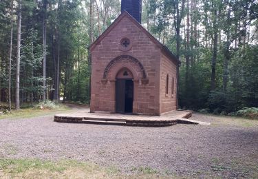
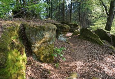
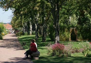
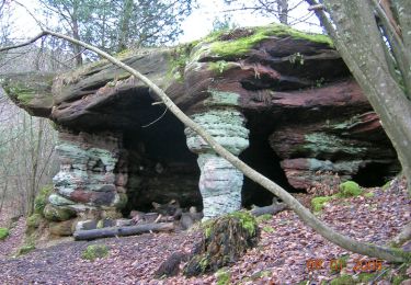
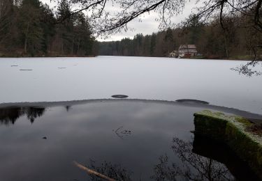
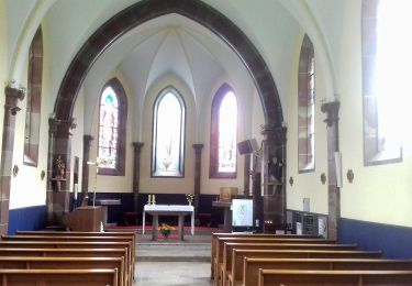
Sortie avec visite du chateau du Waldeck et de la chapelle de notre dame des bois. Passe par l'etang de hasselfurth

Profil altimétrique

Photos

Points d'intérêt

Point d'intérêt Éguelshardt - Le Waldeck - Photo
JPMEGEL
ÉGUELSHARDT 
Point d'intérêt Éguelshardt - chateau du Waldeck - Photo
JPMEGEL
ÉGUELSHARDT 
Point d'intérêt Éguelshardt - Point du vu du Waldeck - Photo
JPMEGEL
Point d'intérêt Éguelshardt - Notre Dame des Bois - Photo
JPMEGEL
ÉGUELSHARDT 
Point d'intérêt Éguelshardt - Notre Dame des bois  - Photo
JPMEGEL
ÉGUELSHARDT 

Localisation

Pays :
France
Région :
Grand Est
Département/Province :
Moselle
Commune :
Éguelshardt
Localité :
Unknown
Départ:(Dec)
Départ:(UTM)
389754 ; 5430862 (32U) N.

Randonnées à proximité

Randonnée Marche Éguelshardt - Notre Dame des Bois - Photo
Marche
oscar1

Marche

Moyen
(1)
Éguelshardt, Grand Est, Moselle, France
17,3 km | 24 km-effort
4h 4min
Oui
Randonnée Marche Bitche - Etang de Hasselfurth et Hochkopf - Bitche - Photo
Marche
tracegps

Marche

Moyen
(1)
Bitche, Grand Est, Moselle, France
7,8 km | 10,1 km-effort
2h 0min
Oui
Randonnée Marche Bitche - Circuit panoramique de Bitche - Photo
Marche
tracegps

Marche

Moyen
(2)
Bitche, Grand Est, Moselle, France
12,7 km | 16,7 km-effort
3h 25min
Oui
Randonnée Marche Philippsbourg - Les 3 châteaux : Falkenstein, Rothenbourg, Waldeck - Photo
Marche
tracegps

Marche

Difficile
(1)
Philippsbourg, Grand Est, Moselle, France
16,1 km | 22 km-effort
4h 25min
Oui
Randonnée A pied Baerenthal - Anneau jaune - Photo
A pied
GUIDE+

A pied

Facile
Baerenthal, Grand Est, Moselle, France
12,3 km | 15,3 km-effort
3h 28min
Oui
Randonnée A pied Philippsbourg - Triangle jaune - Photo
A pied
GUIDE+

A pied

Facile
Philippsbourg, Grand Est, Moselle, France
11,8 km | 15,5 km-effort
3h 30min
Non
Randonnée A pied Philippsbourg - Triangle bleu - Photo
A pied
GUIDE+

A pied

Facile
Philippsbourg, Grand Est, Moselle, France
11,2 km | 13,2 km-effort
3h 0min
Non
Randonnée A pied Baerenthal - Anneau rouge - Photo
A pied
GUIDE+

A pied

Facile
Baerenthal, Grand Est, Moselle, France
5,4 km | 7,6 km-effort
1h 43min
Oui
Randonnée A pied Mouterhouse - Croix jaune - Photo
A pied
GUIDE+

A pied

Facile
Mouterhouse, Grand Est, Moselle, France
9,9 km | 14,4 km-effort
3h 16min
Non


Fermer
Mes abonnements