


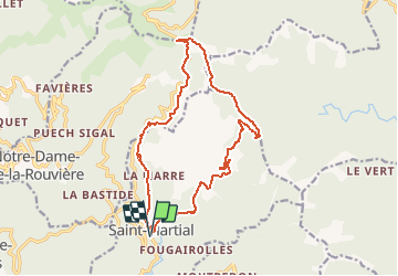

16,2 km | 24 km-effort


Utilisateur


Application GPS de randonnée GRATUITE
 SityTrail
IGN / Instituts géographiques
SityTrail World
Le monde est à vous
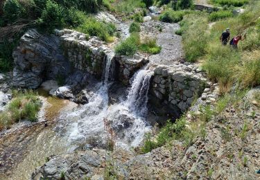
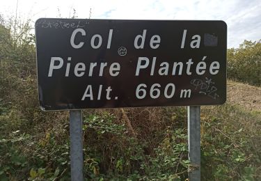
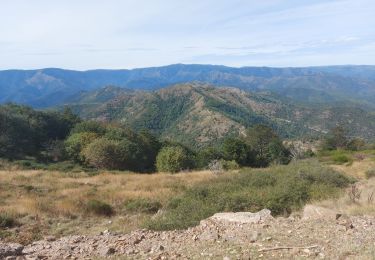
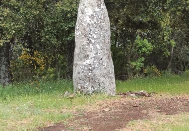
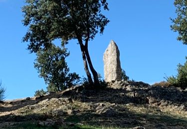
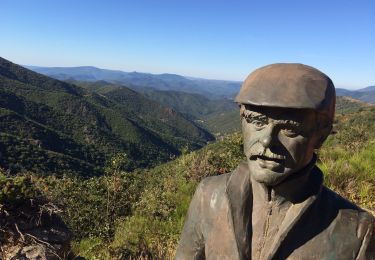
Randonnée Marche de 17,6 km à découvrir à Occitanie, Gard, Saint-Martial. Cette randonnée est proposée par vertygo.
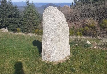
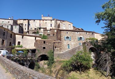
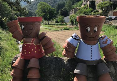
cliquer pour <a href=https://goo.gl/photos/xL1U9ED41rQNVmw68 target=_blank>voir des photos</a> - d'autres parcours sur <a href='http://www.vertygo.org' target=_blank> www.vertygo.org</a>
Marche
Marche
Marche
Marche
Marche
Marche
Marche
Marche
Marche