


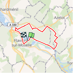

13,1 km | 16,9 km-effort


Utilisateur


Application GPS de randonnée GRATUITE
 SityTrail
IGN / Instituts géographiques
SityTrail World
Le monde est à vous
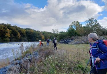
Randonnée Marche de 11,8 km à découvrir à Grand Est, Meurthe-et-Moselle, Flavigny-sur-Moselle. Cette randonnée est proposée par DanielROLLET.
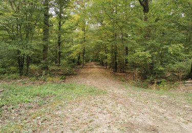
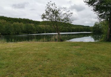
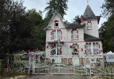
2017 04 05 Reco ASPV avec Marie après celle d'hier en courant. Encore quelques hésitations.
14h10 à 17h05 - Beau temps
V.T.T.
Marche
Marche

V.T.T.
Marche
V.T.T.
Marche
Marche
Marche