


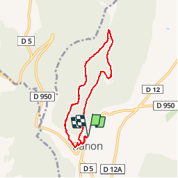

9,6 km | 12,7 km-effort


Utilisateur


Application GPS de randonnée GRATUITE
 SityTrail
IGN / Instituts géographiques
SityTrail World
Le monde est à vous
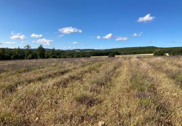
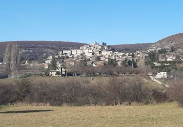
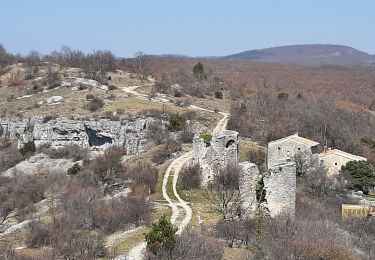
Randonnée Marche de 7 km à découvrir à Provence-Alpes-Côte d'Azur, Alpes-de-Haute-Provence, Banon. Cette randonnée est proposée par Brougeons.
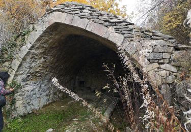
Départ du parking camping-car, ouvert à tous véhicules. On monte sur le mont qui domine Banon, Puis sur la crête on a des vues sur le Village, la montagne de Lure et le mont Ventoux. Retour par un vallon bois et de chênes verts.
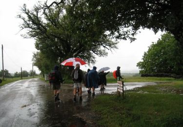
Marche
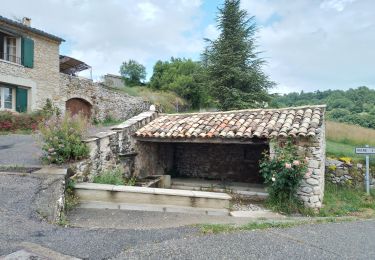
Marche

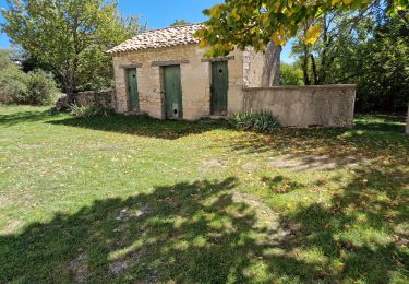
Marche
Marche
Marche
Marche
Marche
Marche
Marche