


15,4 km | 33 km-effort


Utilisateur


Application GPS de randonnée GRATUITE
 SityTrail
IGN / Instituts géographiques
SityTrail World
Le monde est à vous
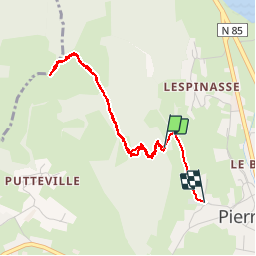
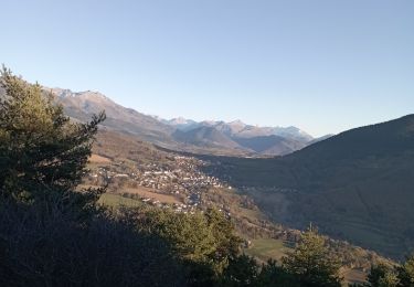
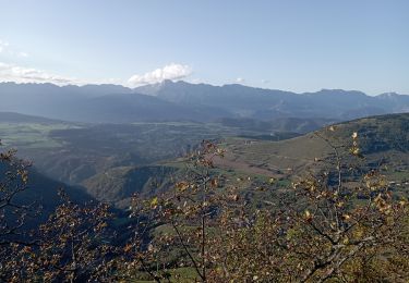
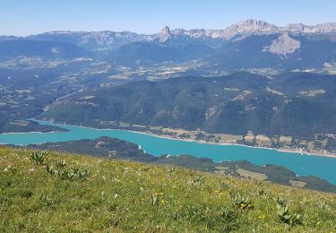
Randonnée Marche de 3,9 km à découvrir à Auvergne-Rhône-Alpes, Isère, Pierre-Châtel. Cette randonnée est proposée par McTracy004.
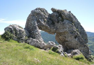
Se garer sur le parking de l'église à Pierre Chatel et suivre chemin qui monte droit. Arrivée à la Pierre Percée, admirez une des 7 merveilles du Dauphiné.
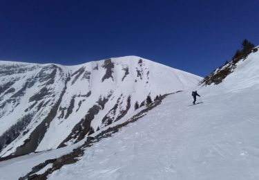
Ski de randonnée
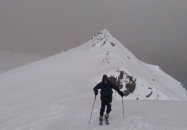
Ski de randonnée
Marche

V.T.T.
Marche
Marche
Marche
Marche
V.T.T.