

Au départ de Ruaux

jeanclaude12
Utilisateur

Longueur
12 km

Altitude max
535 m

Dénivelé positif
267 m

Km-Effort
15,5 km

Altitude min
403 m

Dénivelé négatif
260 m
Boucle
Oui
Date de création :
2017-03-29 00:00:00.0
Dernière modification :
2017-03-29 00:00:00.0
2h48
Difficulté : Facile

Application GPS de randonnée GRATUITE
À propos
Randonnée Marche de 12 km à découvrir à Grand Est, Vosges, Plombières-les-Bains. Cette randonnée est proposée par jeanclaude12.
Description
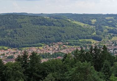
Marche vers la Chapelle de Consolation, le hameau de Clairefontaine, la Vallée de la Semouse, ses anciennes forges et fonderies.
Localisation
Pays :
France
Région :
Grand Est
Département/Province :
Vosges
Commune :
Plombières-les-Bains
Localité :
Unknown
Départ:(Dec)
Départ:(UTM)
307300 ; 5315609 (32T) N.
Commentaires
Randonnées à proximité
plombières et les Ruaux


Marche
Facile
(1)
Plombières-les-Bains,
Grand Est,
Vosges,
France

7,9 km | 10,2 km-effort
2h 28min
Oui
plombieres20221008


Marche nordique
Très facile
Plombières-les-Bains,
Grand Est,
Vosges,
France

19,6 km | 25 km-effort
3h 18min
Oui
Moulin taquere 7kms


Randonnée équestre
Difficile
Fougerolles-Saint-Valbert,
Bourgogne-Franche-Comté,
Haute-Saône,
France

7,6 km | 10,5 km-effort
1h 21min
Oui
Balade poney 6kms


Marche
Moyen
Fougerolles-Saint-Valbert,
Bourgogne-Franche-Comté,
Haute-Saône,
France

6,3 km | 8 km-effort
Inconnu
Oui
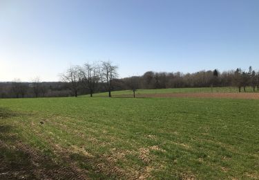
Balade 1h vers chez le poix


Randonnée équestre
Difficile
Fougerolles-Saint-Valbert,
Bourgogne-Franche-Comté,
Haute-Saône,
France

6,1 km | 7,8 km-effort
1h 12min
Oui
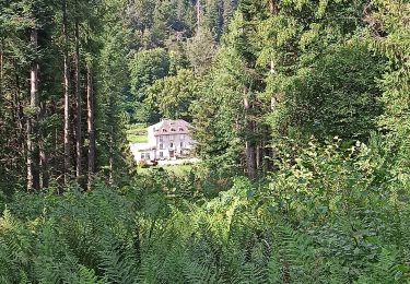
30-07-23 Plombières : circuit jaune n°9


Marche
Moyen
Plombières-les-Bains,
Grand Est,
Vosges,
France

10,7 km | 15,5 km-effort
2h 32min
Oui
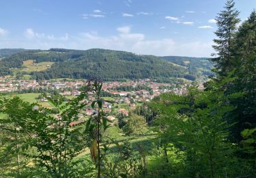
Val d’Ajol


Marche
Difficile
Le Val-d'Ajol,
Grand Est,
Vosges,
France

13,5 km | 18,4 km-effort
4h 11min
Oui
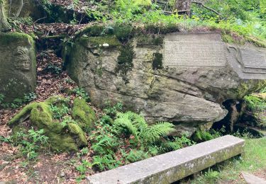
Plombieres


Marche
Moyen
Plombières-les-Bains,
Grand Est,
Vosges,
France

19,9 km | 27 km-effort
5h 38min
Oui
10-06-23 Val d'Ajol, Feuillée Dorothée, Feuillée Nouvelle


Marche
Moyen
Le Val-d'Ajol,
Grand Est,
Vosges,
France

9,7 km | 14,2 km-effort
2h 32min
Oui


 SityTrail


