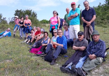
9,8 km | 12,5 km-effort
Sainte Souline
dorcier
Utilisateur
Longueur
10,1 km
Altitude max
186 m
Dénivelé positif
215 m
Km-Effort
13 km
Altitude min
101 m
Dénivelé négatif
217 m
Boucle
Oui
Date de création :
2017-03-28 00:00:00.0
Dernière modification :
2017-03-28 00:00:00.0
2h31
Difficulté : Facile
Application GPS de randonnée GRATUITE
À propos
Randonnée Marche de 10,1 km à découvrir à Nouvelle-Aquitaine, Charente, Sainte-Souline. Cette randonnée est proposée par dorcier.
Description
départ du parking de l'école
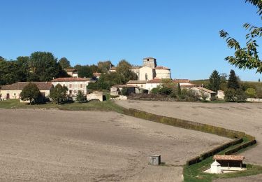
Circuit agréable. Beau point de vue sur les vallons du Sud Charente et la nouvelle LGV.
Localisation
Pays :
France
Région :
Nouvelle-Aquitaine
Département/Province :
Charente
Commune :
Sainte-Souline
Localité :
Unknown
Départ:(Dec)
Départ:(UTM)
733373 ; 5029461 (30T) N.
Commentaires
Randonnées à proximité
La randonnée des fours à pain de Chalignac
Marche
Très facile
(1)
Châtignac,
Nouvelle-Aquitaine,
Charente,
France
2h 40min
Oui
chatignac 18 juin 2019
Marche
Moyen
Châtignac,
Nouvelle-Aquitaine,
Charente,
France
7,6 km | 10,2 km-effort
2h 2min
Oui
chatignac ronde fours à pain
Marche
Très facile
Châtignac,
Nouvelle-Aquitaine,
Charente,
France
10,4 km | 12,7 km-effort
2h 53min
Oui
berneuil 16
Marche
Moyen
Berneuil,
Nouvelle-Aquitaine,
Charente,
France
8,2 km | 10,5 km-effort
2h 16min
Oui
Chatignac 05/05/2022
Marche
Moyen
Châtignac,
Nouvelle-Aquitaine,
Charente,
France
8 km | 10,3 km-effort
2h 35min
Oui
St Laurent des combes
Marche
Moyen
Saint-Laurent-des-Combes,
Nouvelle-Aquitaine,
Charente,
France
9,1 km | 11,3 km-effort
2h 30min
Oui
Deviat Etang Jeannot
A pied
Très facile
Deviat,
Nouvelle-Aquitaine,
Charente,
France
5,7 km | 6,9 km-effort
Inconnu
Oui
Deviat Etang Jeannot
A pied
Très facile
Deviat,
Nouvelle-Aquitaine,
Charente,
France
5,6 km | 6,9 km-effort
1h 30min
Oui
st Laurent des combes 17 avril 2018
Marche
Facile
Saint-Laurent-des-Combes,
Nouvelle-Aquitaine,
Charente,
France
8,7 km | 11,1 km-effort
2h 23min
Oui