


12,2 km | 28 km-effort

Utilisateur


Application GPS de randonnée GRATUITE
 SityTrail
IGN / Instituts géographiques
SityTrail World
Le monde est à vous
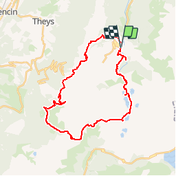
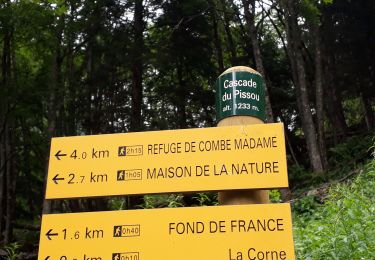
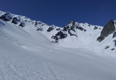
Randonnée Marche de 34 km à découvrir à Auvergne-Rhône-Alpes, Isère, Le Haut-Bréda. Cette randonnée est proposée par freddy73800.
Rando du 13-14 Aout 2011
Tery et Moi
1er jour: 12.3km et 1600D /400D-
2eme jour: 22 km et 700D /1900D-


Marche
Marche
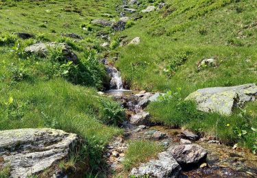
Marche
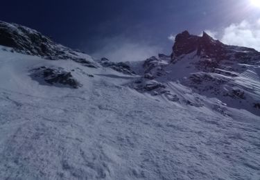
Ski de randonnée

Marche
Marche
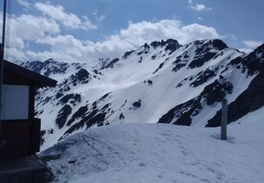
Ski de randonnée
Ski de randonnée

Autre activité