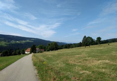
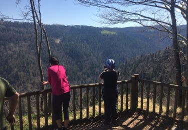
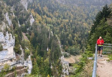
53 km | 69 km-effort
2011-08-13 17h51m20
nicodela25
Utilisateur
Longueur
38 km
Altitude max
1088 m
Dénivelé positif
658 m
Km-Effort
47 km
Altitude min
858 m
Dénivelé négatif
776 m
Boucle
Non
Date de création :
2014-12-10 00:00:00.0
Dernière modification :
2014-12-10 00:00:00.0
--
Difficulté : Inconnu
Application GPS de randonnée GRATUITE
À propos
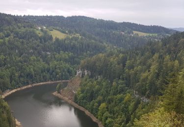
Randonnée Autre activité de 38 km à découvrir à Bourgogne-Franche-Comté, Doubs, Le Russey. Cette randonnée est proposée par nicodela25.
Localisation
Pays :
France
Région :
Bourgogne-Franche-Comté
Département/Province :
Doubs
Commune :
Le Russey
Localité :
Unknown
Départ:(Dec)
Départ:(UTM)
330357 ; 5223952 (32T) N.
Commentaires
Randonnées à proximité
Étape 6 : Fournet Blancheroche à Villers-le-Lac
Marche
Moyen
Fournet-Blancheroche,
Bourgogne-Franche-Comté,
Doubs,
France
25 km | 34 km-effort
7h 24min
Non
Le Russey
V.T.T.
Très facile
Le Russey,
Bourgogne-Franche-Comté,
Doubs,
France
26 km | 32 km-effort
1h 49min
Oui
saut du doubs
V.T.T.
Difficile
Grand'Combe-des-Bois,
Bourgogne-Franche-Comté,
Doubs,
France
22 km | 35 km-effort
3h 7min
Non
Marche de la colo 2023
Marche
Très difficile
Le Barboux,
Bourgogne-Franche-Comté,
Doubs,
France
17,9 km | 26 km-effort
5h 57min
Non
Fournet-Blancheroche
Marche nordique
Difficile
Fournet-Blancheroche,
Bourgogne-Franche-Comté,
Doubs,
France
15,1 km | 23 km-effort
Inconnu
Oui
GR 5 2 eme jour
Marche
Facile
Grand'Combe-des-Bois,
Bourgogne-Franche-Comté,
Doubs,
France
12 km | 18,5 km-effort
3h 16min
Non
VTT 53- La Cendree
V.T.T.
Facile
Le Russey,
Bourgogne-Franche-Comté,
Doubs,
France
31 km | 38 km-effort
1h 56min
Oui
VCPR 16-07-13
V.T.T.
Très facile
Le Russey,
Bourgogne-Franche-Comté,
Doubs,
France
30 km | 36 km-effort
3h 3min
Oui