


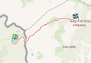

19,5 km | 40 km-effort

dernière ligne droite?


Application GPS de randonnée GRATUITE
 SityTrail
IGN / Instituts géographiques
SityTrail World
Le monde est à vous
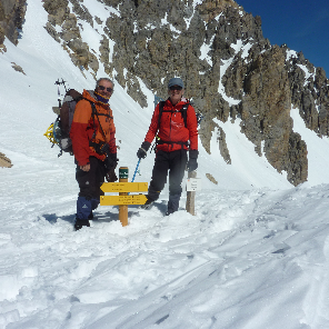
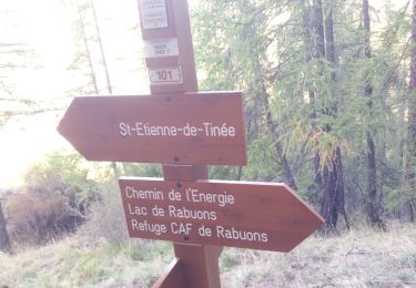
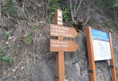
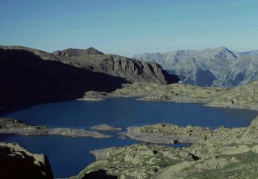
Randonnée Marche de 9,2 km à découvrir à Provence-Alpes-Côte d'Azur, Alpes-Maritimes, Saint-Étienne-de-Tinée. Cette randonnée est proposée par DC2019.
Par le pas d'Ischiator- Therme di Vinadio
Marche

Marche

Marche
Marche

A pied

A pied

A pied

A pied
A pied