


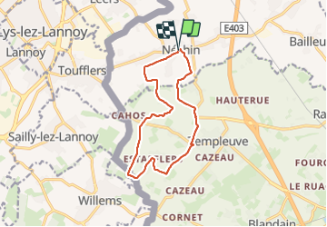

10,4 km | 11 km-effort


RCM ... l'esprit rando à vélo et à pied !


Application GPS de randonnée GRATUITE
 SityTrail
IGN / Instituts géographiques
SityTrail World
Le monde est à vous
Randonnée Marche de 11,5 km à découvrir à Wallonie, Hainaut, Estaimpuis. Cette randonnée est proposée par Randonneur Club Marcquois.
Petite randonnée de Fernand à la frontière belge.

Marche

Cheval

Cheval

Cheval

Marche
Marche
Marche
Marche
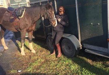
Cheval