


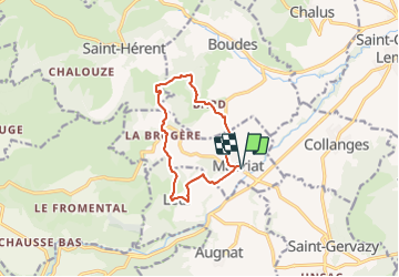

5,9 km | 8,2 km-effort

Utilisateur GUIDE


Application GPS de randonnée GRATUITE
 SityTrail
IGN / Instituts géographiques
SityTrail World
Le monde est à vous
Randonnée Marche de 10,2 km à découvrir à Auvergne-Rhône-Alpes, Puy-de-Dôme, Madriat. Cette randonnée est proposée par jagarnier.
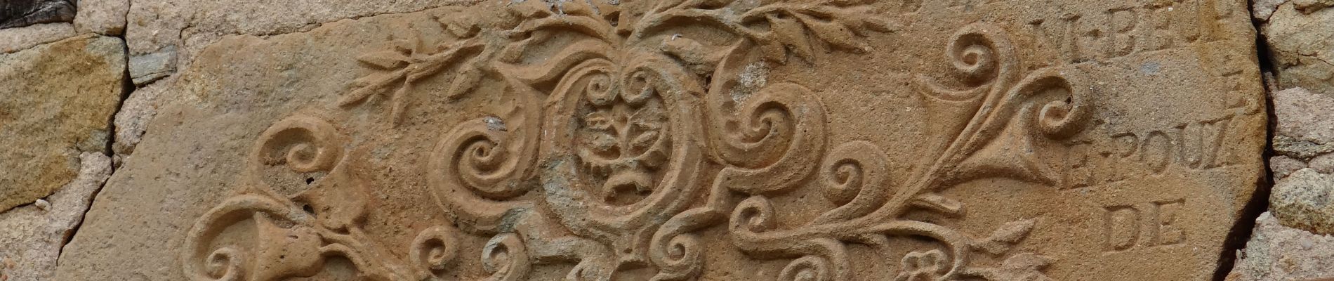
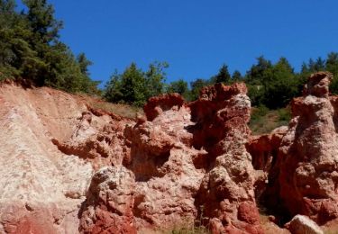
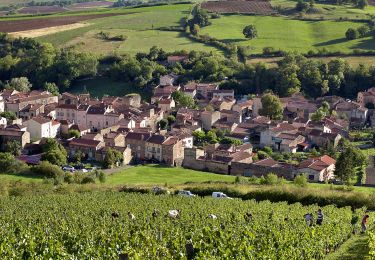
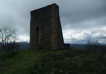
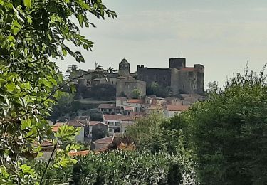
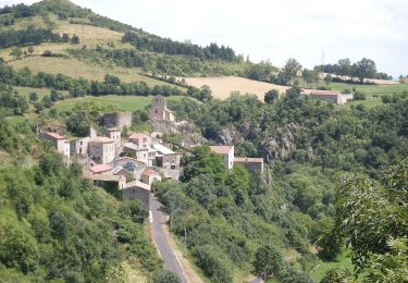
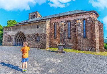
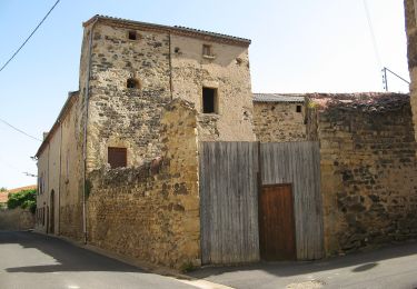
une source salée, des argiles cuites par un ancien climat et saignées par l'érosion, des villages anciennement vignerons ... jalonnent cette boucle qui offre aussi de vastes points de vue sur une plaine plantureuse.


Marche
Marche
Marche
Marche
A pied

A pied
A pied
A pied
A pied