


6,5 km | 7,3 km-effort


Utilisateur


Application GPS de randonnée GRATUITE
 SityTrail
IGN / Instituts géographiques
SityTrail World
Le monde est à vous
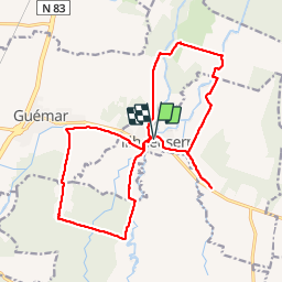
Randonnée Marche de 19,4 km à découvrir à Grand Est, Haut-Rhin, Illhaeusern. Cette randonnée est proposée par Richard68500.
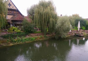
Randonnée sans dénivelé, à midi au restaurant A la Truite
Marche
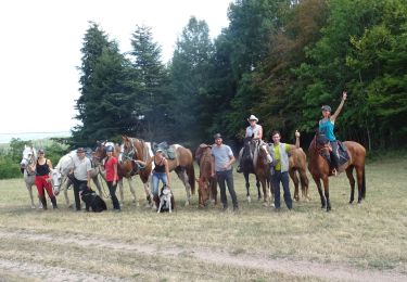
Randonnée équestre
Marche
Marche
Marche
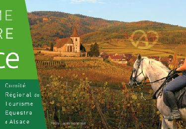
Randonnée équestre
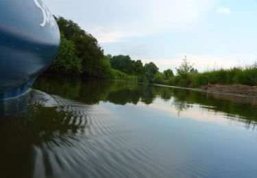
Canoë - kayak
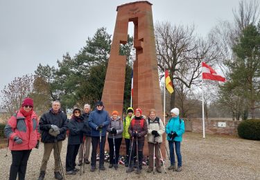
Marche nordique