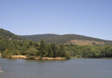
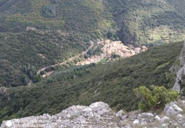
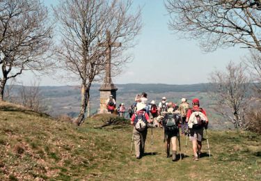
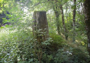
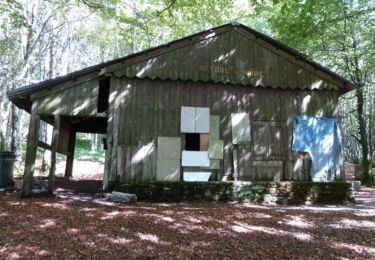
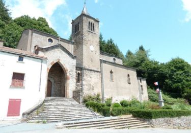
6,4 km | 10 km-effort
Etape(5)
Jean-Phi81
Utilisateur
Longueur
21 km
Altitude max
1155 m
Dénivelé positif
237 m
Km-Effort
27 km
Altitude min
406 m
Dénivelé négatif
971 m
Boucle
Non
Date de création :
2017-02-28 00:00:00.0
Dernière modification :
2017-02-28 00:00:00.0
5h19
Difficulté : Inconnu
Application GPS de randonnée GRATUITE
À propos
Randonnée Marche de 21 km à découvrir à Occitanie, Tarn, Mazamet. Cette randonnée est proposée par Jean-Phi81.
Localisation
Pays :
France
Région :
Occitanie
Département/Province :
Tarn
Commune :
Mazamet
Localité :
Unknown
Départ:(Dec)
Départ:(UTM)
457056 ; 4809290 (31T) N.
Commentaires
Randonnées à proximité
Les Villages Perchés
A pied
Moyen
Pradelles-Cabardès,
Occitanie,
Aude,
France
19,4 km | 29 km-effort
6h 34min
Non
Les Villages Perchés
A pied
Moyen
Pradelles-Cabardès,
Occitanie,
Aude,
France
19,2 km | 26 km-effort
5h 53min
Non
Pradelles Cabardes . Le Pic de Nore, le sentier du Roc Nouret.
A pied
Facile
(1)
Pradelles-Cabardès,
Occitanie,
Aude,
France
10,4 km | 16,4 km-effort
3h 44min
Oui
Pradelles,roc de l'aigle,cabrespine,pradelles
A pied
Difficile
Pradelles-Cabardès,
Occitanie,
Aude,
France
15,3 km | 24 km-effort
5h 50min
Oui
Le sentier des Gentilshommes Verriers - Saint Amand Soult
Marche
Moyen
Saint-Amans-Soult,
Occitanie,
Tarn,
France
19,9 km | 31 km-effort
5h 30min
Oui
Le Pic de Nore
Marche
Difficile
Pradelles-Cabardès,
Occitanie,
Aude,
France
13,5 km | 21 km-effort
5h 45min
Oui
Massif du Pic de Nore - Pradelles Cabardès
Marche
Difficile
Pradelles-Cabardès,
Occitanie,
Aude,
France
21 km | 32 km-effort
5h 0min
Oui
Le Quiersboutou - Castans
Marche
Moyen
Castans,
Occitanie,
Aude,
France
7,8 km | 14,8 km-effort
4h 30min
Oui