


40 km | 46 km-effort

Utilisateur


Application GPS de randonnée GRATUITE
 SityTrail
IGN / Instituts géographiques
SityTrail World
Le monde est à vous
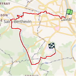
Randonnée Marche de 14,7 km à découvrir à Pays de la Loire, Mayenne, Laval. Cette randonnée est proposée par Axelloceane.
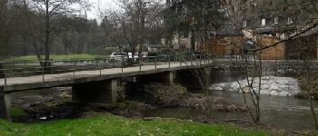
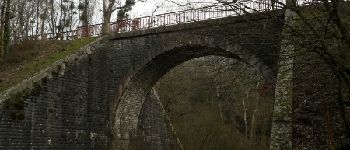
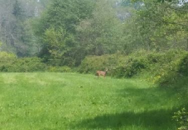
Départ de la poste du centre ville pour rejoindre St Berthevin en passant par les quartiers de Ste catherine, Haute follis,les carrières bleus,lotissement de st Berthevin et suivre le Vicoin et l'ancienne ligne de chemin de fer pour terminer au bois de l'Huisserie.
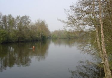
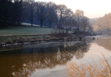
l - Photo 1")
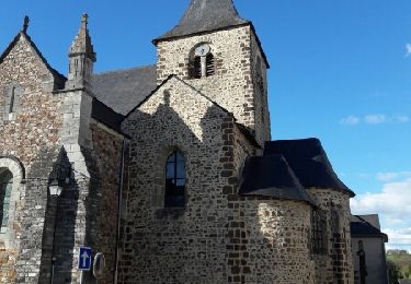
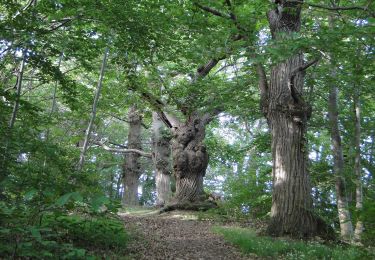
l - Photo 2")
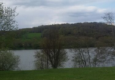
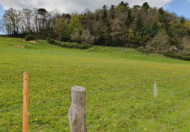
l - Photo 3")
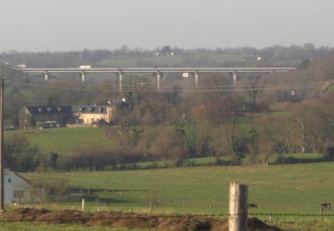
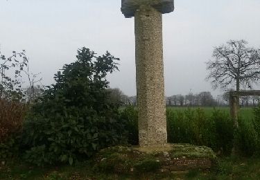
l - Photo 4")
l - Photo 5")
l - Photo 6")
l - Photo 7")
V.T.T.
Marche
Marche
V.T.T.
V.T.T.
A pied
Marche
Marche
Marche