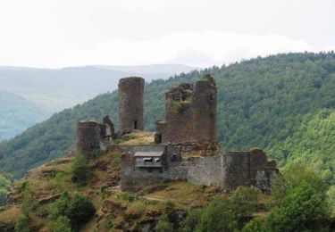
90 km | 113 km-effort
lozère lac charpal 20
mijojo
Utilisateur
Longueur
21 km
Altitude max
1530 m
Dénivelé positif
479 m
Km-Effort
27 km
Altitude min
1289 m
Dénivelé négatif
474 m
Boucle
Non
Date de création :
2014-12-10 00:00:00.0
Dernière modification :
2014-12-10 00:00:00.0
--
Difficulté : Inconnu
Application GPS de randonnée GRATUITE
À propos
Randonnée Autre activité de 21 km à découvrir à Occitanie, Lozère, Monts-de-Randon. Cette randonnée est proposée par mijojo.
Description
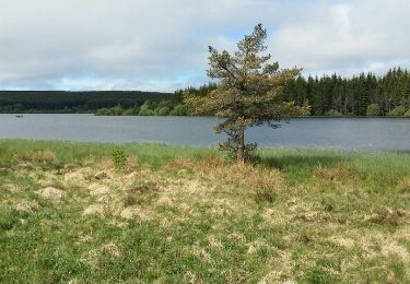
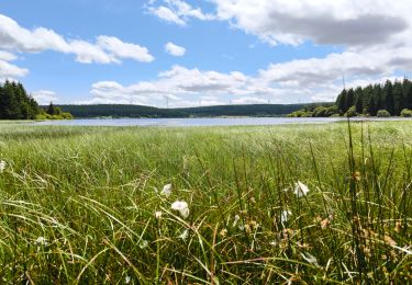
lac de charpal 20 km
Localisation
Pays :
France
Région :
Occitanie
Département/Province :
Lozère
Commune :
Monts-de-Randon
Localité :
Rieutort-de-Randon
Départ:(Dec)
Départ:(UTM)
544493 ; 4941562 (31T) N.
Commentaires
Randonnées à proximité
06 GTMC Le Giraldès-Le Pont de Monvert
V.T.T.
Facile
(1)
Arzenc-de-Randon,
Occitanie,
Lozère,
France
15min
Non
Le tour du lac de Charpal
Marche
Très facile
(1)
Monts-de-Randon,
Occitanie,
Lozère,
France
9 km | 10,2 km-effort
2h 20min
Oui
LAC DE CHARPAL 39 km VTT Chateauneuf de Randon
V.T.T.
Moyen
(1)
Monts-de-Randon,
Occitanie,
Lozère,
France
38 km | 49 km-effort
2h 36min
Oui
tour du lamc Charpal
Marche
Facile
(2)
Monts-de-Randon,
Occitanie,
Lozère,
France
9,4 km | 10,8 km-effort
3h 5min
Oui
Charpal
Marche
Facile
Monts-de-Randon,
Occitanie,
Lozère,
France
17,6 km | 22 km-effort
5h 11min
Oui
Fait GTMC 2022 E2 3,3 b
V.T.T.
Difficile
Arzenc-de-Randon,
Occitanie,
Lozère,
France
54 km | 69 km-effort
6h 14min
Non
Truc de Fortunio et lac de Charpal
Marche
Moyen
Monts-de-Randon,
Occitanie,
Lozère,
France
16,6 km | 22 km-effort
5h 48min
Oui
GTMC de Claire - 6
V.T.T.
Très difficile
Arzenc-de-Randon,
Occitanie,
Lozère,
France
58 km | 74 km-effort
4h 30min
Non
Tour du lac de Charpal
Marche
Moyen
Monts-de-Randon,
Occitanie,
Lozère,
France
9,1 km | 10,5 km-effort
1h 59min
Oui