


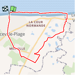

12,3 km | 13,2 km-effort


Utilisateur


Application GPS de randonnée GRATUITE
 SityTrail
IGN / Instituts géographiques
SityTrail World
Le monde est à vous
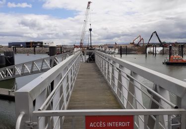
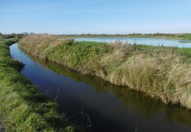
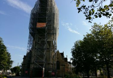
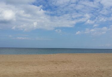
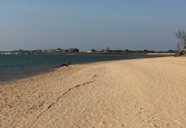
Randonnée Marche de 8,6 km à découvrir à Normandie, Calvados, Merville-Franceville-Plage. Cette randonnée est proposée par phi14.
Ballade sympa entre plage et marais et en chemin la possibilité de visiter les batteries de Merville.
Marche
Marche
Vélo de route
Marche
Vélo de route
Marche
Course à pied

Marche