


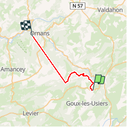


14,8 km | 23 km-effort


Utilisateur


Application GPS de randonnée GRATUITE
 SityTrail
IGN / Instituts géographiques
SityTrail World
Le monde est à vous
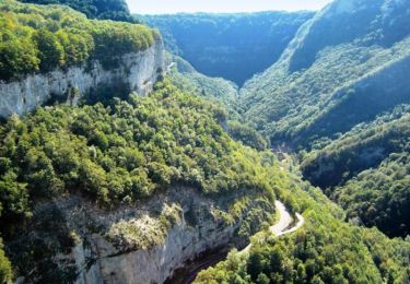
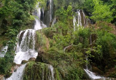
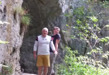
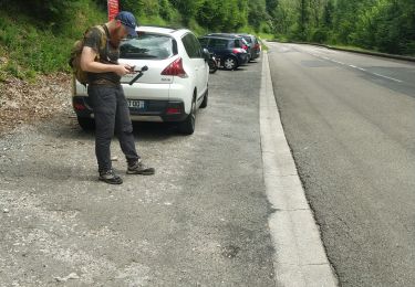
Randonnée V.T.T. de 25 km à découvrir à Bourgogne-Franche-Comté, Doubs, Ouhans. Cette randonnée est proposée par norbertmarteau.


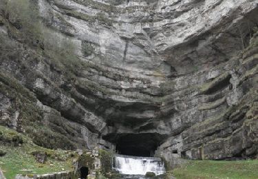
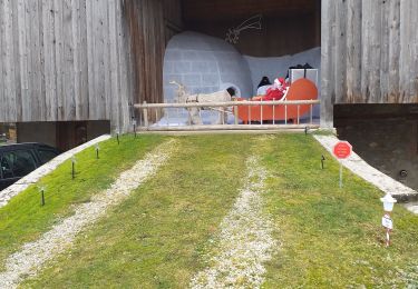
23 photos au total. Cliquez sur une photo pour les afficher toutes dans la galerie.
Marche

Marche
Marche
Marche
Marche

A pied
Marche
Marche
Marche