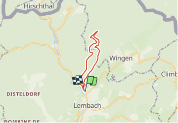

18,4 km | 26 km-effort


Utilisateur


Application GPS de randonnée GRATUITE
 SityTrail
IGN / Instituts géographiques
SityTrail World
Le monde est à vous
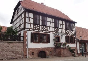
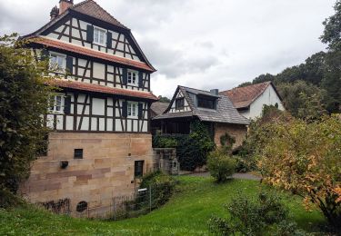
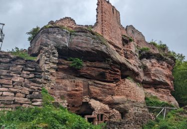
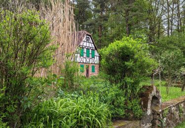
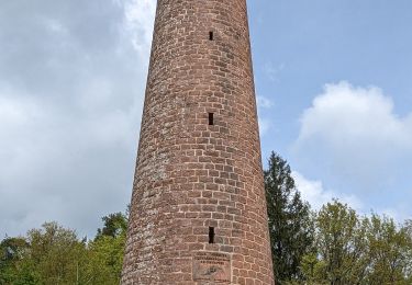
Randonnée Marche de 8,2 km à découvrir à Grand Est, Bas-Rhin, Lembach. Cette randonnée est proposée par baggera.
Rond bleu (signalisation Club Vosgien), puis chemin forestier, puis la croix rouge pour le retour sur Lembach (petit chemin sympa)
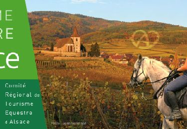
Randonnée équestre

Marche

V.T.T.
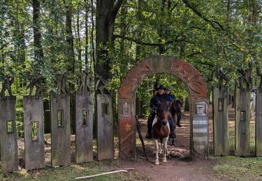
Randonnée équestre
Randonnée équestre
Randonnée équestre
Randonnée équestre
Randonnée équestre