


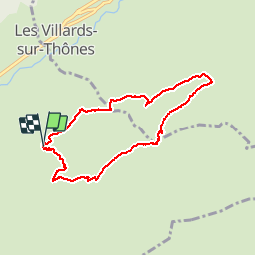

8 km | 11,6 km-effort


Utilisateur


Application GPS de randonnée GRATUITE
 SityTrail
IGN / Instituts géographiques
SityTrail World
Le monde est à vous
Randonnée Raquettes à neige de 7,3 km à découvrir à Auvergne-Rhône-Alpes, Haute-Savoie, Thônes. Cette randonnée est proposée par thierryd.
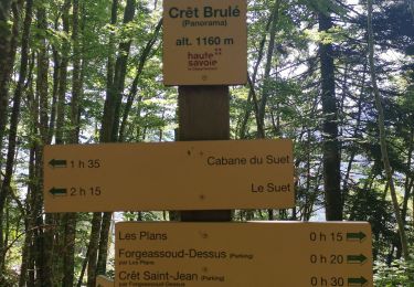
Attention, le descente du Frassot dans le bois est assez raide (et peut se faire à ski s'il y a bcp de neige)

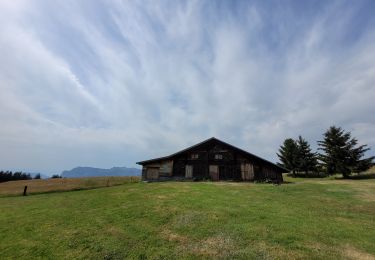
Raquettes à neige

Marche

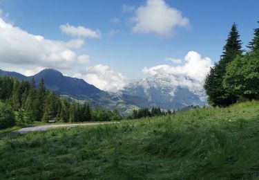
Marche

Marche
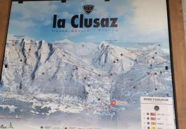
Marche
Marche
Marche
Marche
Marche
magnifique, quel talent de traceur !