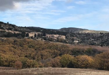
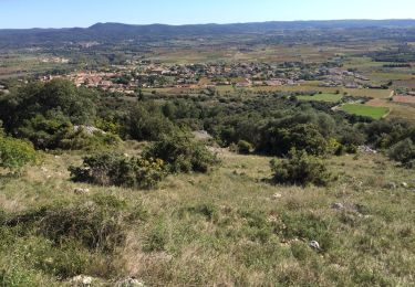
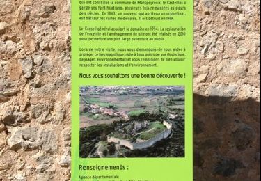
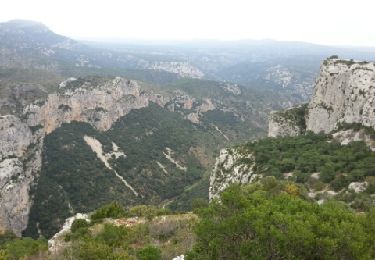
Randonnée Marche Montpeyroux - Herault - Le Mont St-Baudille 11km 452m - Photo

Herault - Le Mont St-Baudille 11km 452m

 RandoVal
RandoVal

Utilisateur

© OpenStreetMap contributors
Longueur
Longueur
10,4 km
Altitude max
Altitude max
840 m
Dénivelé positif
Dénivelé positif
450 m
Km-Effort
Km-Effort  
16,4 km
Altitude min
Altitude min
400 m
Dénivelé négatif
Dénivelé négatif
453 m
Boucle
Boucle
Oui
Date de création :
2018-09-12 19:08:55.438
Dernière modification :
2018-09-12 19:08:55.446

(0 Avis)

Marche
Marche
3h27
Difficulté : Difficile

Scannez ce code QR pour ouvrir la randonnée dans l'application SityTrail

Application GPS de randonnée GRATUITE

Logo SityTrail SityTrail

IGN / Instituts géographiques

Télécharger SityTrail sur l'App Store Télécharger SityTrail sur Google Play

Logo SityTrail SityTrail World

Le monde est à vous

Télécharger SityTrail sur l'App Store Télécharger SityTrail sur Google Play Télécharger SityTrail sur Huawei AppGallery

À propos

Randonnée Marche de 10,4 km à découvrir à Occitanie, Hérault, Montpeyroux. Cette randonnée est proposée par RandoVal.

Description

Boucle dans le massif de la Serrane, départ devant le gite La Font de Griffe sens horaire, beau point de vue au sommet.

Profil altimétrique

Localisation

Pays :
France
Région :
Occitanie
Département/Province :
Hérault
Commune :
Montpeyroux
Localité :
Unknown
Départ:(Dec)
Départ:(UTM)
539628 ; 4842527 (31T) N.

Randonnées à proximité

Randonnée Marche Saint-Saturnin-de-Lucian - Le Rocher des vierges - Photo
Marche
daniel34

Marche

Moyen
(2)
Saint-Saturnin-de-Lucian, Occitanie, Hérault, France
12,1 km | 17,4 km-effort
5h 1min
Oui
Randonnée Marche Saint-Jean-de-Fos - St Jean de fos Les Plos - Photo
Marche
mrclic34

Marche

Facile
(3)
Saint-Jean-de-Fos, Occitanie, Hérault, France
11 km | 15,2 km-effort
3h 5min
Oui
Randonnée Marche Montpeyroux - château de castelas - Photo
Marche
mrclic34

Marche

Facile
(3)
Montpeyroux, Occitanie, Hérault, France
10,3 km | 15,1 km-effort
3h 12min
Oui
Randonnée Marche Saint-Guilhem-le-Désert - Roc de la vigne au départ des Lavagnes - Photo
Marche
GUIDE
randotines

Marche

Moyen
(1)
Saint-Guilhem-le-Désert, Occitanie, Hérault, France
16,1 km | 23 km-effort
4h 58min
Oui
Randonnée Marche Montpeyroux - Saint baudille - Photo
Marche
yt34

Marche

Facile
(3)
Montpeyroux, Occitanie, Hérault, France
10,2 km | 16,2 km-effort
3h 22min
Oui
Randonnée Marche Saint-Jean-de-Fos - St Jean de Fos et le Max Nègre - Photo
Marche
GUIDE
randotines

Marche

Moyen
Saint-Jean-de-Fos, Occitanie, Hérault, France
19,1 km | 27 km-effort
5h 42min
Oui
Randonnée Marche Saint-Guilhem-le-Désert - le moulus - Photo
Marche
ledjai51

Marche

Très facile
(1)
Saint-Guilhem-le-Désert, Occitanie, Hérault, France
17 km | 22 km-effort
4h 52min
Oui
Randonnée Marche Saint-Guilhem-le-Désert - St Guilhem Le Désert - Mas Aubert - Photo
Marche
tracegps

Marche

Difficile
(1)
Saint-Guilhem-le-Désert, Occitanie, Hérault, France
19,7 km | 30 km-effort
6h 30min
Oui
Randonnée Marche Montpeyroux - Saint-Baudille  - Photo
Marche
Raymond DAVID

Marche

Moyen
Montpeyroux, Occitanie, Hérault, France
13,8 km | 21 km-effort
4h 30min
Oui


Fermer
Mes abonnements