


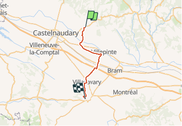

13,9 km | 17,7 km-effort


Utilisateur


Application GPS de randonnée GRATUITE
 SityTrail
IGN / Instituts géographiques
SityTrail World
Le monde est à vous
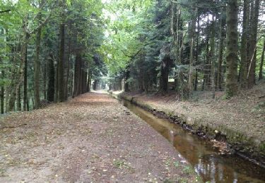
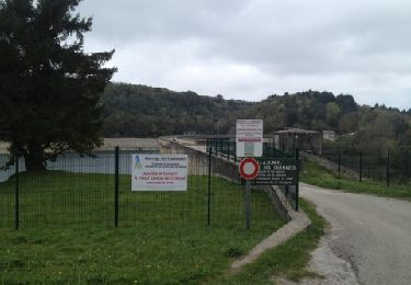
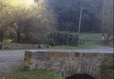
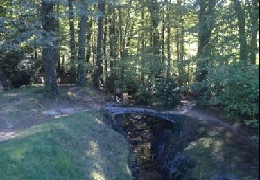
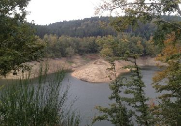
Randonnée Marche de 24 km à découvrir à Occitanie, Aude, Saint-Papoul. Cette randonnée est proposée par richard21220.
Camping des Brugues : Les Brugues 11270 FANJEAUX Tél 04 68 24 77 37
Hotel le belvèdère Saint Dominique - 11270 Fanjeaux
téléphone : 04 68 76 11 59 - mobile : 06 81 41 34 04

Marche

V.T.T.

Vélo
Cheval
Marche
Cheval

Vélo
V.T.T.
V.T.T.