


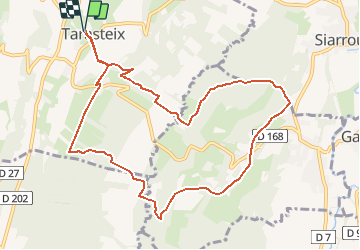

7 km | 8,7 km-effort


Utilisateur


Application GPS de randonnée GRATUITE
 SityTrail
IGN / Instituts géographiques
SityTrail World
Le monde est à vous
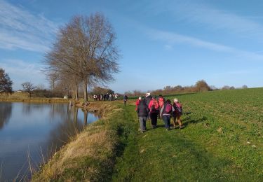
Randonnée Marche nordique de 11,2 km à découvrir à Occitanie, Hautes-Pyrénées, Tarasteix. Cette randonnée est proposée par cromignon.
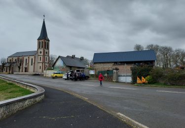
Circuit de MN-11 du club LPC de GER(64); départ église de Tarasteix, se rapproche de Lagarde, emprunte en partie le GR 101.
A pied
Marche

Marche
Marche
Marche
Marche
Marche
A pied

A pied
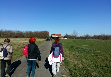
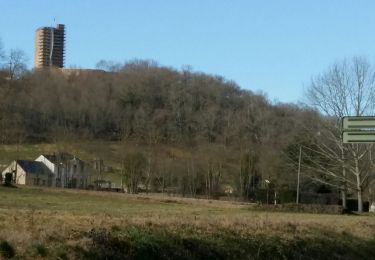
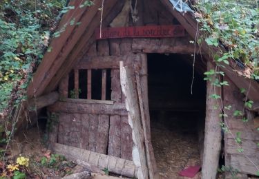
circuit facile vue sur la montagne