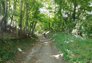
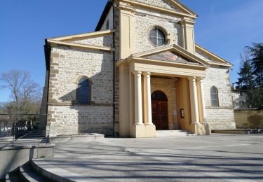
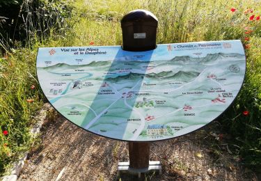
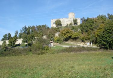
Randonnée Marche Grenay - Grenay-Avocats 5.8 a105 g0 d15 - Photo

Grenay-Avocats 5.8 a105 g0 d15

 jtraverse
jtraverse

Utilisateur

© OpenStreetMap contributors
Longueur
Longueur
5,8 km
Altitude max
Altitude max
313 m
Dénivelé positif
Dénivelé positif
81 m
Km-Effort
Km-Effort  
6,8 km
Altitude min
Altitude min
271 m
Dénivelé négatif
Dénivelé négatif
81 m
Boucle
Boucle
Oui
Date de création :
2019-01-16 09:32:08.443
Dernière modification :
2019-01-16 09:32:08.49

(0 Avis)

Marche
Marche
1h33
Difficulté : Très facile

Scannez ce code QR pour ouvrir la randonnée dans l'application SityTrail

Application GPS de randonnée GRATUITE

Logo SityTrail SityTrail

IGN / Instituts géographiques

Télécharger SityTrail sur l'App Store Télécharger SityTrail sur Google Play

Logo SityTrail SityTrail World

Le monde est à vous

Télécharger SityTrail sur l'App Store Télécharger SityTrail sur Google Play Télécharger SityTrail sur Huawei AppGallery

À propos

Randonnée Marche de 5,8 km à découvrir à Auvergne-Rhône-Alpes, Isère, Grenay. Cette randonnée est proposée par jtraverse.

Description

GPS Pk
45°39'41.4"N 5°04'27.6"E
45.661492, 5.074338
Pk 220 lotissement Les Avocats
38540 GRENAY
Rejoindre la rte d'Heyrieux, la suivre jusqu'à St Pierre de Chandieu. Tourner à gauche Chemin de Satolas (en direction du lotissement Les Avocats), puis 2e à droite (D53A) continuer sur cette route jusqu'à la 1e rue à gauche après le pont au-dessus de l'A43.Tourner à gauche et suivre jusqu'au parking à côté de l'entreprise

Profil altimétrique

Localisation

Pays :
France
Région :
Auvergne-Rhône-Alpes
Département/Province :
Isère
Commune :
Grenay
Localité :
Unknown
Départ:(Dec)
Départ:(UTM)
661538 ; 5058532 (31T) N.

Randonnées à proximité

Randonnée Marche Saint-Pierre-de-Chandieu - 69-Saint Pierre de Chandieu 17km 400m MAI 2020 - Photo
Marche
SyMA

Marche

Facile
Saint-Pierre-de-Chandieu, Auvergne-Rhône-Alpes, Rhône, France
17,4 km | 23 km-effort
4h 48min
Oui
Randonnée Marche Saint-Pierre-de-Chandieu - 69 Saint Pierre Chandieu 2 17km 380m - Photo
Marche
SyMA

Marche

Facile
Saint-Pierre-de-Chandieu, Auvergne-Rhône-Alpes, Rhône, France
17,4 km | 23 km-effort
4h 48min
Oui
Randonnée Marche Saint-Pierre-de-Chandieu - 69-Saint Pierre de chandieu 18km 400m - Photo
Marche
SyMA

Marche

Facile
Saint-Pierre-de-Chandieu, Auvergne-Rhône-Alpes, Rhône, France
17,6 km | 23 km-effort
3h 50min
Oui
Randonnée Marche Saint-Quentin-Fallavier - Saint Quantin Falavier   - Photo
Marche
GILGilbert

Marche

Moyen
Saint-Quentin-Fallavier, Auvergne-Rhône-Alpes, Isère, France
10,8 km | 13,4 km-effort
3h 8min
Oui
Randonnée V.T.T. Saint-Quentin-Fallavier - La St Quentinoise 2008 - Photo
V.T.T.
tracegps

V.T.T.

Difficile
Saint-Quentin-Fallavier, Auvergne-Rhône-Alpes, Isère, France
47 km | 60 km-effort
4h 0min
Oui
Randonnée Marche Heyrieux - Hryrieux  GR  - Photo
Marche
bruas

Marche

Facile
Heyrieux, Auvergne-Rhône-Alpes, Isère, France
3,9 km | 5 km-effort
56min
Non
Randonnée Marche Saint-Quentin-Fallavier - SQF Parcours santé strict - Photo
Marche
FUMAT

Marche

Facile
Saint-Quentin-Fallavier, Auvergne-Rhône-Alpes, Isère, France
6,1 km | 7,6 km-effort
1h 28min
Non
Randonnée Marche Saint-Quentin-Fallavier - SQF LE COCHET 3,6KMS - Photo
Marche
FUMAT

Marche

Facile
Saint-Quentin-Fallavier, Auvergne-Rhône-Alpes, Isère, France
3,7 km | 4,5 km-effort
1h 30min
Oui
Randonnée Marche Saint-Pierre-de-Chandieu - rajat2 - Photo
Marche
Morin thierry

Marche

Moyen
Saint-Pierre-de-Chandieu, Auvergne-Rhône-Alpes, Rhône, France
8 km | 9,5 km-effort
1h 50min
Oui


Fermer
Mes abonnements