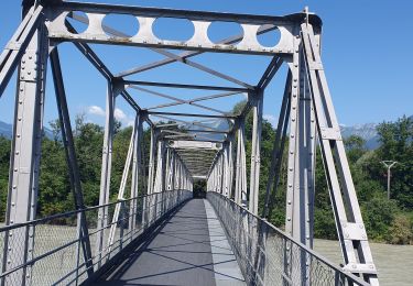
13,8 km | 27 km-effort
Objectif 812km partie kayak
Mymassot
Utilisateur
Longueur
622 km
Altitude max
412 m
Dénivelé positif
3199 m
Km-Effort
666 km
Altitude min
-9 m
Dénivelé négatif
3605 m
Boucle
Non
Date de création :
2016-12-14 00:00:00.0
Dernière modification :
2019-06-02 14:32:08.763
--
Difficulté : Très facile
Application GPS de randonnée GRATUITE
À propos
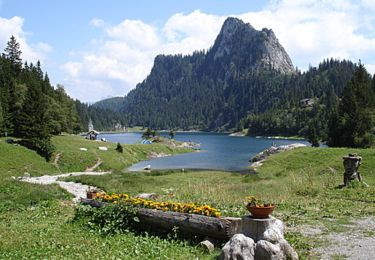
Randonnée Canoë - kayak de 622 km à découvrir à Valais, Monthey, Saint-Gingolph. Cette randonnée est proposée par Mymassot.
Localisation
Pays :
Suisse
Région :
Valais
Département/Province :
Monthey
Commune :
Saint-Gingolph
Localité :
Unknown
Départ:(Dec)
Départ:(UTM)
331188 ; 5139886 (32T) N.
Commentaires
Randonnées à proximité
TransAlpes VTT - 01/25 - St Gingolf - Lac de Tanay
V.T.T.
Difficile
Saint-Gingolph,
Valais,
Monthey,
Suisse
2h 30min
Non
15 juillet
Marche
Très facile
Thollon-les-Mémises,
Auvergne-Rhône-Alpes,
Haute-Savoie,
France
10,8 km | 26 km-effort
4h 27min
Non
bdx001_0623
Autre activité
Très facile
Saint-Gingolph,
Valais,
Monthey,
Suisse
11,3 km | 35 km-effort
8h 5min
Non
ST_harlin_test
Autre activité
Très facile
Saint-Gingolph,
Auvergne-Rhône-Alpes,
Haute-Savoie,
France
32 km | 84 km-effort
14h 44min
Non
bdr99_StGingolphe_Leysin
Autre activité
Très facile
Le Léman (VS),
Valais,
Monthey,
Suisse
26 km | 38 km-effort
8h 59min
Non
bdr01_StGingolphe_Trient
Autre activité
Très facile
Le Léman (VS),
Valais,
Monthey,
Suisse
68 km | 170 km-effort
40h 54min
Non
xxx20_Heremence_StGingolphe
Autre activité
Très facile
Saint-Gingolph,
Valais,
Monthey,
Suisse
59 km | 59 km-effort
13h 24min
Non
Novel - Pic Boré via col de Blanchard
Marche
Difficile
Novel,
Auvergne-Rhône-Alpes,
Haute-Savoie,
France
12,8 km | 25 km-effort
7h 13min
Oui