


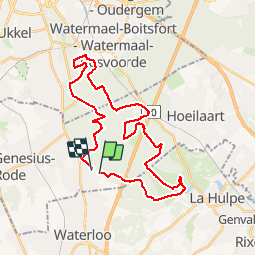


23 km | 28 km-effort

Utilisateur GUIDE


Application GPS de randonnée GRATUITE
 SityTrail
IGN / Instituts géographiques
SityTrail World
Le monde est à vous
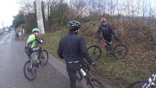
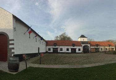
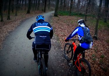
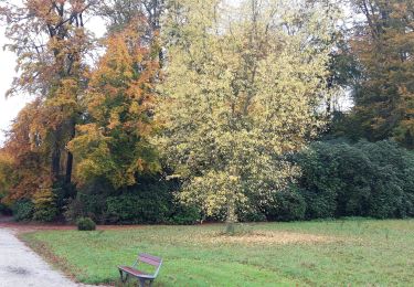
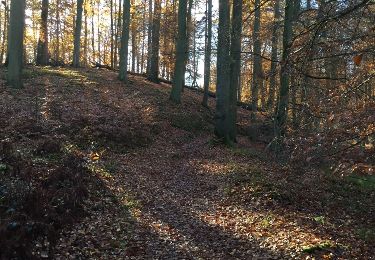
Randonnée V.T.T. de 31 km à découvrir à Flandre, Brabant flamand, Rhode-Saint-Genèse. Cette randonnée est proposée par pascalou73.
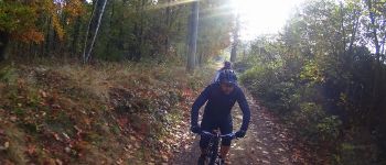
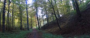
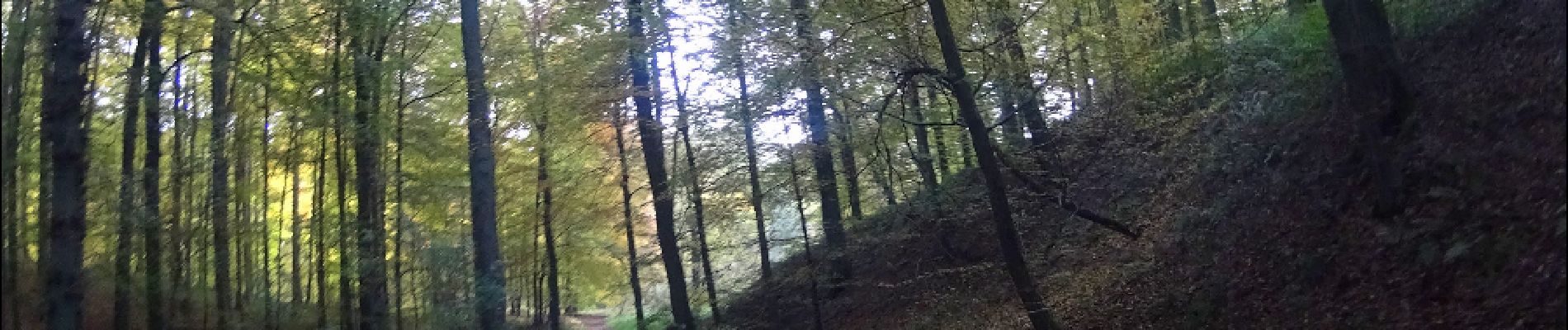
Un VTT dans la forêt de Soignes .Qui va vous conduire sur des sentiers qui vous fera découvrir les étangs de la belle forêt de Soignes.


Marche

Marche

Marche

V.T.T.

Marche
Vélo
V.T.T.
Marche
Marche
Very nice ride!