


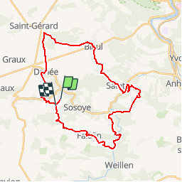


16,7 km | 21 km-effort

Utilisateur GUIDE


Application GPS de randonnée GRATUITE
 SityTrail
IGN / Instituts géographiques
SityTrail World
Le monde est à vous
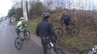
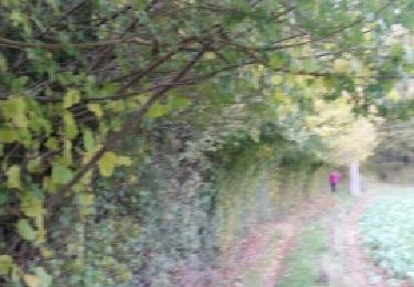
Randonnée Autre activité de 31 km à découvrir à Wallonie, Namur, Anhée. Cette randonnée est proposée par pascalou73.
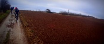
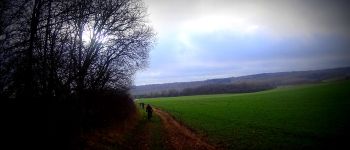
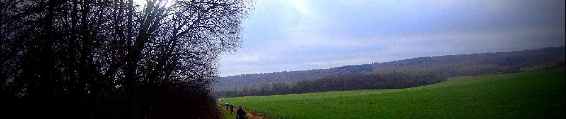
Au départ du village de noël le VTT va au fil des sentiers vous faire voir de beaux villages et une nature de toute beauté et vous pourrez en prenant de la hauteur voir le tracé de la molignée.


Marche

Marche

Marche

Marche

Marche

Marche

Marche

Marche
Marche