


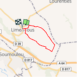

4,9 km | 5,3 km-effort


Utilisateur GUIDE


Application GPS de randonnée GRATUITE
 SityTrail
IGN / Instituts géographiques
SityTrail World
Le monde est à vous
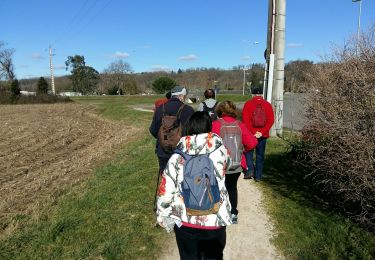
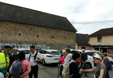
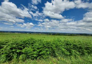
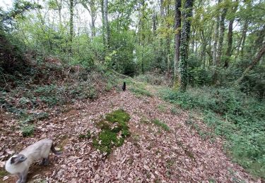
Randonnée Marche de 4,4 km à découvrir à Nouvelle-Aquitaine, Pyrénées-Atlantiques, Limendous. Cette randonnée est proposée par LouisROGER.
Petite boucle passant près de la source du Luy de France où l'on peut aller entre les maïs cachée par les ronces!!


sport
Marche nordique

Marche
Marche
Marche
A pied
Marche
V.T.T.
Marche