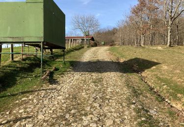
Randonnée Marche Lesaka - BERA-MÉGALITHES DE AMARGUNKO - Photo

BERA-MÉGALITHES DE AMARGUNKO

 DECHAMPD
DECHAMPD

Utilisateur

© OpenStreetMap contributors
Longueur
Longueur
14,7 km
Altitude max
Altitude max
506 m
Dénivelé positif
Dénivelé positif
587 m
Km-Effort
Km-Effort  
22 km
Altitude min
Altitude min
31 m
Dénivelé négatif
Dénivelé négatif
587 m
Boucle
Boucle
Non
Date de création :
2019-01-14 17:31:07.704
Dernière modification :
2019-01-14 17:31:07.778

(0 Avis)

Marche
Marche
4h44
Difficulté : Très facile

Scannez ce code QR pour ouvrir la randonnée dans l'application SityTrail

Application GPS de randonnée GRATUITE

Logo SityTrail SityTrail

IGN / Instituts géographiques

Télécharger SityTrail sur l'App Store Télécharger SityTrail sur Google Play

Logo SityTrail SityTrail World

Le monde est à vous

Télécharger SityTrail sur l'App Store Télécharger SityTrail sur Google Play Télécharger SityTrail sur Huawei AppGallery

À propos

Randonnée Marche de 14,7 km à découvrir à Navarre, Inconnu, Lesaka. Cette randonnée est proposée par DECHAMPD.

Description

BERA-MÉGALITHES DE AMARGUNKO
Cet itinéraire suit une section du GR-11 et conduit à un dolmen et cromlech. Aussi la Couronne le sommet de Meakako gaina.
CARTE, PLUS D’INFORMATIONS ET L’ITINÉRAIRE ÉTAPE PAR ÉTAPE SUR :
http://arqueologianavarra.blogspot.com.es/2013/06/Bera-megalitos-amargunko-Lepoa.html

Profil altimétrique

Photos

Points d'intérêt

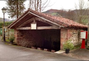
Point d'intérêt Lesaka - Puente de San Miguel - Photo
DECHAMPD
Point d'intérêt Lesaka - Amargunko Lepoa 363m. - Photo
DECHAMPD
Point d'intérêt Lesaka - Crómlech - Photo
DECHAMPD
LESAKA 
Point d'intérêt Lesaka - Crómlech - Photo
DECHAMPD
LESAKA 
Point d'intérêt Lesaka - Dolmens - Photo
DECHAMPD
LESAKA 
Point d'intérêt Lesaka - 359m. - Photo
DECHAMPD
LESAKA 
Point d'intérêt Lesaka - Infos - Photo
DECHAMPD
LESAKA 
Point d'intérêt Lesaka - 512m. - Photo
DECHAMPD
LESAKA 

Localisation

Pays :
Espagne
Région :
Navarre
Département/Province :
Inconnu
Commune :
Lesaka
Localité :
Unknown
Départ:(Dec)
Départ:(UTM)
606289 ; 4792430 (30T) N.

Randonnées à proximité

Randonnée A pied Etxalar - SL-NA 5 Argarata - Santa Krutz - Photo
A pied
GUIDE+

A pied

Facile
Etxalar, Navarre, Inconnu, Espagne
4,5 km | 5,7 km-effort
1h 17min
Oui
Randonnée Marche Urrugne - Sentier des mulets  - Photo
Marche
RayFab

Marche

Moyen
Urrugne, Nouvelle-Aquitaine, Pyrénées-Atlantiques, France
9 km | 14 km-effort
2h 40min
Oui
Randonnée Marche Urrugne - ibardin- tour du lac  - Photo
Marche
RayFab

Marche

Moyen
(1)
Urrugne, Nouvelle-Aquitaine, Pyrénées-Atlantiques, France
10,5 km | 17,2 km-effort
4h 34min
Oui
Randonnée Marche Urrugne - Ibardin Ziburumendi, Yasola forêt de Bera  Gartzin - Photo
Marche
DECHAMPD

Marche

Moyen
Urrugne, Nouvelle-Aquitaine, Pyrénées-Atlantiques, France
12,1 km | 19,6 km-effort
4h 0min
Oui
Randonnée Marche Sare - La Rhune - Photo
Marche
donda

Marche

Moyen
Sare, Nouvelle-Aquitaine, Pyrénées-Atlantiques, France
6,7 km | 9,7 km-effort
2h 18min
Non
Randonnée Raquettes à neige Bera - La Rhune depuis col Lizunaga avec sommet réal - Photo
Raquettes à neige
DECHAMPD

Raquettes à neige

Moyen
Bera, Navarre, Inconnu, Espagne
10,6 km | 19,8 km-effort
4h 17min
Oui
Randonnée Marche Bera - Massif de la  Rhune depuis col Lizunaga - Photo
Marche
DECHAMPD

Marche

Moyen
Bera, Navarre, Inconnu, Espagne
10,6 km | 19,7 km-effort
4h 11min
Oui
Randonnée Marche Urrugne - jara - Photo
Marche
jaja64

Marche

Moyen
Urrugne, Nouvelle-Aquitaine, Pyrénées-Atlantiques, France
48 km | 101 km-effort
5h 48min
Non
Randonnée Marche Urrugne - col d'ibardin lac - Photo
Marche
jaja64

Marche

Facile
Urrugne, Nouvelle-Aquitaine, Pyrénées-Atlantiques, France
9,6 km | 14,1 km-effort
4h 34min
Oui


Fermer
Mes abonnements