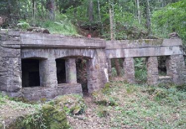
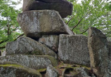
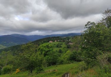
14,8 km | 27 km-effort
2011-05-22 12h18m50Mikes
MIKED68
Utilisateur
Longueur
14,1 km
Altitude max
729 m
Dénivelé positif
542 m
Km-Effort
21 km
Altitude min
319 m
Dénivelé négatif
361 m
Boucle
Non
Date de création :
2014-12-10 00:00:00.0
Dernière modification :
2014-12-10 00:00:00.0
--
Difficulté : Moyen
Application GPS de randonnée GRATUITE
À propos
Randonnée Vélo de 14,1 km à découvrir à Grand Est, Haut-Rhin, Griesbach-au-Val. Cette randonnée est proposée par MIKED68.
Localisation
Pays :
France
Région :
Grand Est
Département/Province :
Haut-Rhin
Commune :
Griesbach-au-Val
Localité :
Unknown
Départ:(Dec)
Départ:(UTM)
363832 ; 5322050 (32U) N.
Commentaires
Randonnées à proximité
De Munster aux 3 Fours (Aller) - Munster
Marche
Difficile
(1)
Munster,
Grand Est,
Haut-Rhin,
France
5h 0min
Non
Circuit historique 1914-18 Hohrodberg - Linge
Marche
Moyen
(1)
Hohrod,
Grand Est,
Haut-Rhin,
France
14 km | 19,8 km-effort
5h 50min
Oui
19.06.13.Munster
Marche
Très facile
(1)
Munster,
Grand Est,
Haut-Rhin,
France
7,3 km | 10,6 km-effort
2h 10min
Oui
Le petit Hohnack - verkort (23)
Randonnée équestre
Facile
(1)
Gunsbach,
Grand Est,
Haut-Rhin,
France
13,1 km | 18,4 km-effort
2h 25min
Oui
Hohrodberg - Le Linge
Marche
Facile
(2)
Hohrod,
Grand Est,
Haut-Rhin,
France
6,5 km | 10,3 km-effort
2h 2min
Oui
Autour de Wasserbourg
Marche
Facile
(1)
Wasserbourg,
Grand Est,
Haut-Rhin,
France
8,8 km | 14 km-effort
2h 6min
Oui
Munster Narrenstein
Marche
Moyen
(1)
Munster,
Grand Est,
Haut-Rhin,
France
4,7 km | 7,7 km-effort
1h 24min
Non
Reco Rando du CLAS du 18/07/2024. par PBo
Marche
Très difficile
(1)
Wintzenheim,
Grand Est,
Haut-Rhin,
France
18,9 km | 27 km-effort
4h 43min
Oui
Hohrodberg Munster
Marche
Difficile
Hohrod,
Grand Est,
Haut-Rhin,
France
11,5 km | 18,6 km-effort
4h 36min
Non