11,2 km | 14,6 km-effort
Saint Jean des Bois Flers 12.4 Km
ODDAD78
Utilisateur
Longueur
12,4 km
Altitude max
320 m
Dénivelé positif
227 m
Km-Effort
15,4 km
Altitude min
204 m
Dénivelé négatif
226 m
Boucle
Oui
Date de création :
2019-04-13 16:34:26.387
Dernière modification :
2019-04-13 16:34:26.42
3h19
Difficulté : Facile
Application GPS de randonnée GRATUITE
À propos
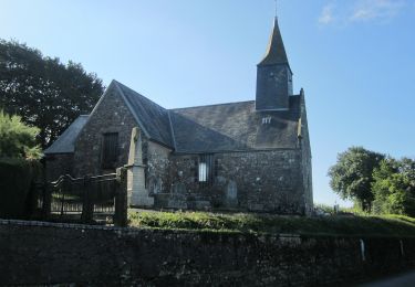
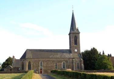
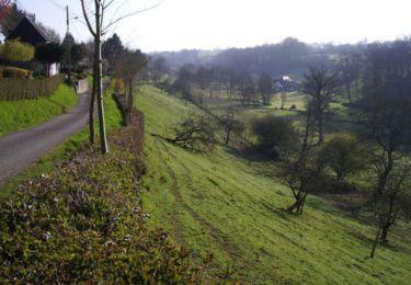
Randonnée Marche de 12,4 km à découvrir à Normandie, Orne, Tinchebray-Bocage. Cette randonnée est proposée par ODDAD78.
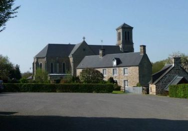
Localisation
Pays :
France
Région :
Normandie
Département/Province :
Orne
Commune :
Tinchebray-Bocage
Localité :
Saint-Jean-des-Bois
Départ:(Dec)
Départ:(UTM)
662356 ; 5399007 (30U) N.
Commentaires
Randonnées à proximité
Chemin de l'Egrenne (n° 9) - Beauchêne
Marche
Moyen
(1)
Tinchebray-Bocage,
Normandie,
Orne,
France
2h 49min
Oui
La Forêt
A pied
Facile
Saint-Christophe-de-Chaulieu,
Normandie,
Orne,
France
6 km | 7,6 km-effort
1h 43min
Non
La Forêt (n° 13) - Saint Christophe de Chaulieu
V.T.T.
Facile
Saint-Christophe-de-Chaulieu,
Normandie,
Orne,
France
6,5 km | 8,4 km-effort
34min
Oui
La Forêt (n° 13) - Saint Christophe de Chaulieu
Marche
Facile
Saint-Christophe-de-Chaulieu,
Normandie,
Orne,
France
6,5 km | 8,4 km-effort
1h 40min
Oui
Le Ruslé
A pied
Facile
Tinchebray-Bocage,
Normandie,
Orne,
France
5,4 km | 6,9 km-effort
1h 34min
Non
Michelot Moulin - Pays de Tinchebray
Marche
Moyen
Tinchebray-Bocage,
Normandie,
Orne,
France
12,4 km | 15,4 km-effort
3h 0min
Oui
Randonnée pédestre organisée - Sur les pas des Chouans - Tinchebray
Marche
Difficile
Tinchebray-Bocage,
Normandie,
Orne,
France
44 km | 54 km-effort
8h 0min
Oui
Chemin de l'Egrenne
A pied
Facile
Tinchebray-Bocage,
Normandie,
Orne,
France
10,6 km | 14 km-effort
3h 10min
Oui
Tinchebray Plan D'eau
Marche
Facile
Tinchebray-Bocage,
Normandie,
Orne,
France
1,4 km | 1,6 km-effort
23min
Oui