


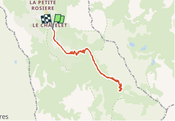


6,8 km | 11,1 km-effort

Utilisateur


Application GPS de randonnée GRATUITE
 SityTrail
IGN / Instituts géographiques
SityTrail World
Le monde est à vous
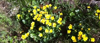
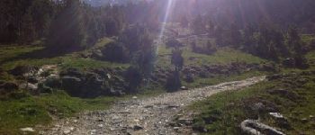
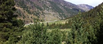
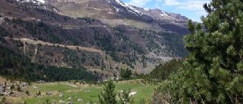
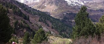
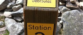
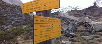
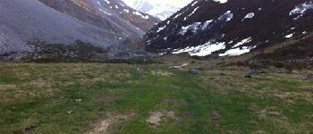
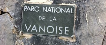
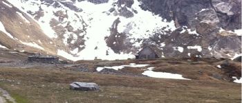
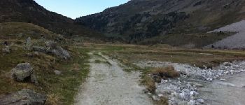
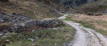
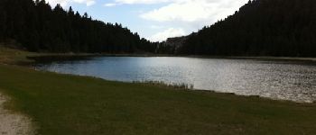
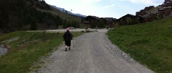
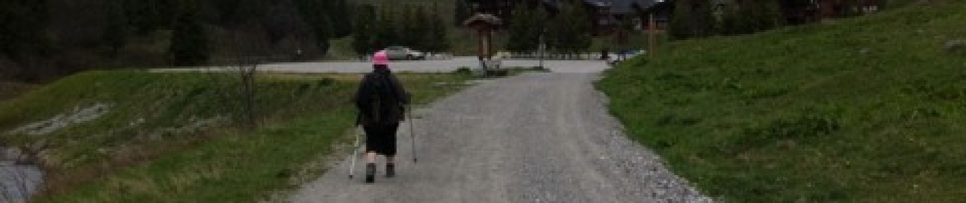
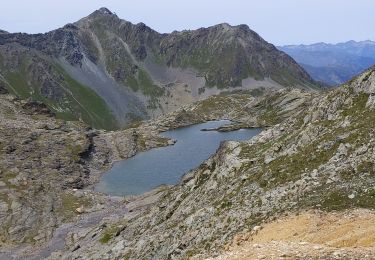
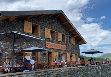
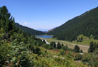
Randonnée Marche de 23 km à découvrir à Auvergne-Rhône-Alpes, Savoie, Les Allues. Cette randonnée est proposée par Titanium_31.


Marche

Marche

Marche

Marche

Autre activité

Marche
Marche
Autre activité
Marche