


10,9 km | 11,7 km-effort


Utilisateur


Application GPS de randonnée GRATUITE
 SityTrail
IGN / Instituts géographiques
SityTrail World
Le monde est à vous
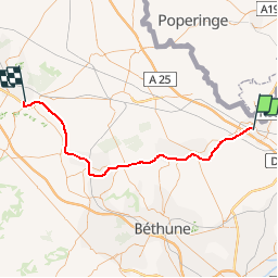
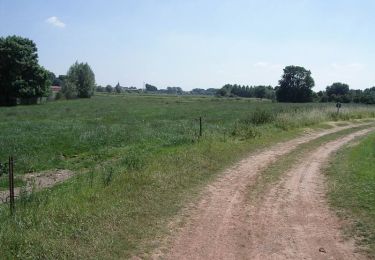
Randonnée Autre activité de 55 km à découvrir à Hauts-de-France, Nord, Armentières. Cette randonnée est proposée par mich54.
La ligne d'Armentières à Arques est une ligne ferroviaire française de la région Hauts-de-France, non électrifiée à écartement standard et à voie unique reliant la gare d'Armentières à celle d'Arques. Elle est uniquement utilisée par le fret.(Source Wikipédia)
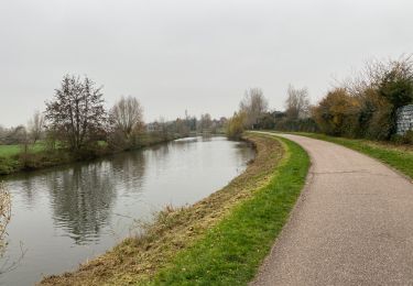
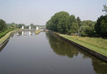
Marche

Marche
Marche

Marche

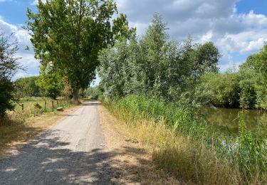
V.T.T.

Marche
V.T.T.
V.T.T.

Marche