


24 km | 30 km-effort


Utilisateur


Application GPS de randonnée GRATUITE
 SityTrail
IGN / Instituts géographiques
SityTrail World
Le monde est à vous
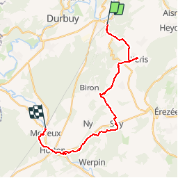
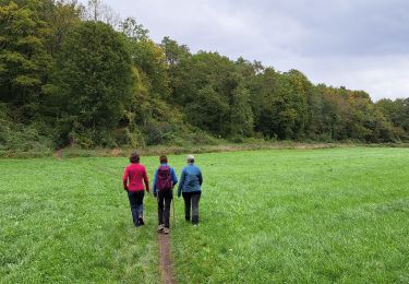
Randonnée Marche de 22 km à découvrir à Wallonie, Luxembourg, Durbuy. Cette randonnée est proposée par so.duchateau.
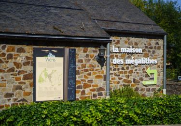
Cette étape vous fera découvrir le village de Wéris et ses mégalithes. Le village est connu pour accueillir la plus importante concentration de mégalithes (dolmens, menhirs) du pays.
Le village possède en outre une magnifique église du XIe siècle, un château ferme du XVIIe siècle et plusieurs habitations en calcaire, en grès ou en colombage datant pour la plupart du XIXe siècle.
Sur votre chemin également : la porte néolithique d'Aïve
Tous les détails de cette étape :
www.cerclepegase.be/sejours/transcalestienne/transcalestienne09.htm

Marche
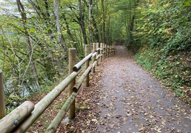
Marche

Marche
Marche

Marche
Vélo
Marche
Marche