


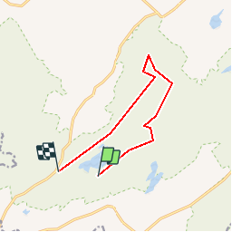


9,4 km | 12 km-effort


Utilisateur


Application GPS de randonnée GRATUITE
 SityTrail
IGN / Instituts géographiques
SityTrail World
Le monde est à vous
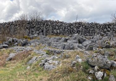
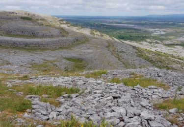
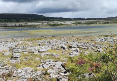
Randonnée Marche de 8,7 km à découvrir à Inconnu, County Clare, West Clare Municipal District. Cette randonnée est proposée par walter.hmcampbell.
Marche
Marche

Marche
Marche
Marche

Voiture