


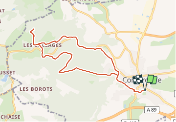

9,5 km | 13,4 km-effort

Utilisateur GUIDE


Application GPS de randonnée GRATUITE
 SityTrail
IGN / Instituts géographiques
SityTrail World
Le monde est à vous
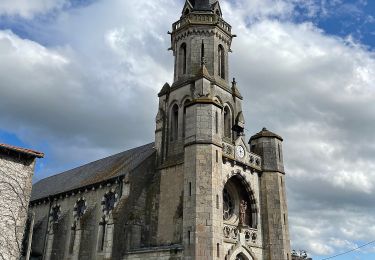
Randonnée Marche de 10 km à découvrir à Auvergne-Rhône-Alpes, Puy-de-Dôme, Combronde. Cette randonnée est proposée par jagarnier.
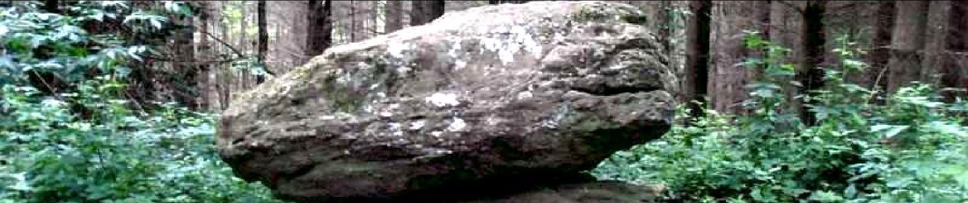
Dans une contrée où l'eau est une richesse multiforme, cette randonnée, traverse aussi les époques. D'un site curieux, "la pierre branlante", jusqu'à l'autoroute qui est venu traverser le paysage au début de XXIème siècle.


Marche

Marche

Marche

Marche

Marche
A pied
A pied

Marche
A pied