


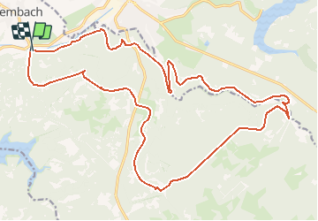

19,9 km | 26 km-effort


Utilisateur


Application GPS de randonnée GRATUITE
 SityTrail
IGN / Instituts géographiques
SityTrail World
Le monde est à vous
Randonnée V.T.T. de 24 km à découvrir à Wallonie, Liège, Baelen. Cette randonnée est proposée par francois58.
Belles allées et deux passages trialisants !
Celui de la descente vers le Pont Guerrier est facilement évitable en restant sur le chemin !

Marche

Marche

Marche
Marche
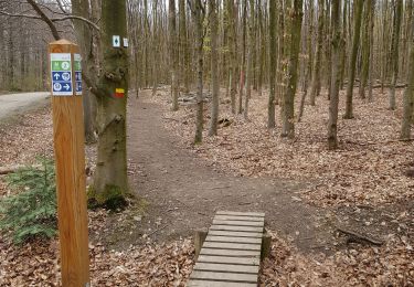

Marche

Marche

Marche

Marche