


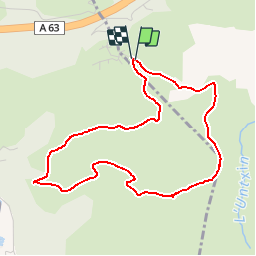

10,1 km | 17,1 km-effort


Utilisateur


Application GPS de randonnée GRATUITE
 SityTrail
IGN / Instituts géographiques
SityTrail World
Le monde est à vous
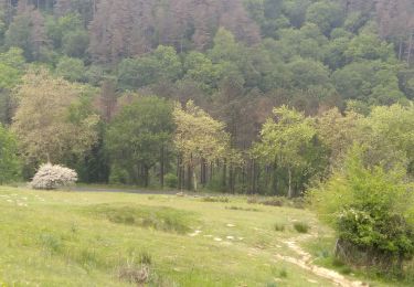
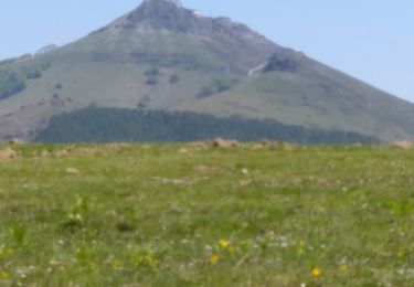
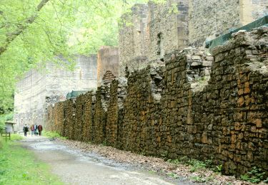
Randonnée Marche de 4,7 km à découvrir à Nouvelle-Aquitaine, Pyrénées-Atlantiques, Urrugne. Cette randonnée est proposée par philou6351.
Coordonnées départ:
43.338967 , -1.72554
375 che du calvaire
64122 Urrugne
Parcelle : 000 / 0K / 0889
Altitude : 173.82 m

Marche

V.T.T.

Marche

Marche
Marche
Marche
A pied
Marche
Marche